Ireland in 8 days


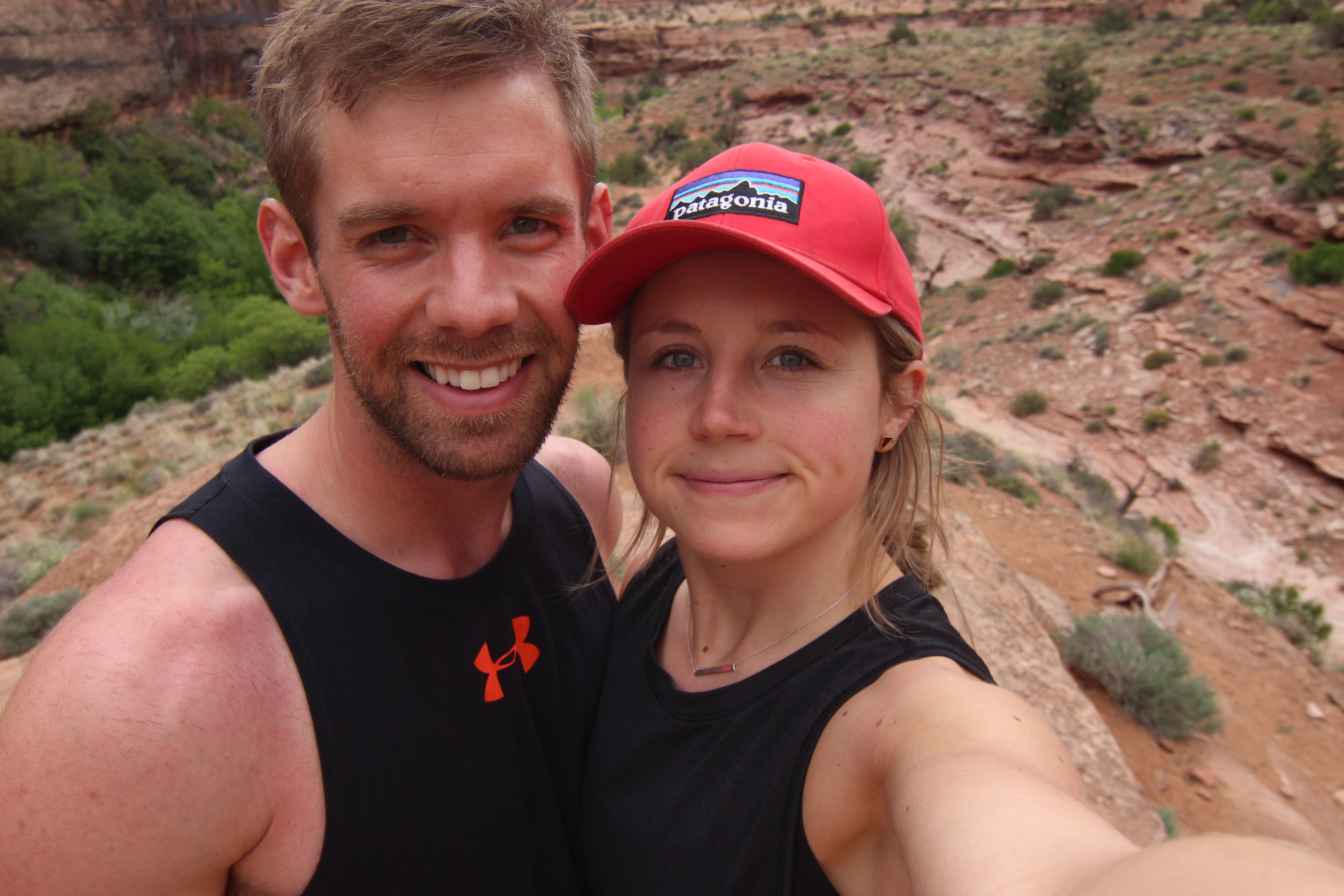
8 days and 7 nights traveling around Ireland + Northern Ireland.

The following blog post will include:

  • A detailed packing list
  • Renting a car in Ireland
  • Currency – Ireland/Northern Ireland
  • How I planned our trip
  • Accommodations we stayed at along the way
  • A detailed itinerary – activities + places we explored
  • What we would change/add on to our trip if we were to go back again
  • Total cost of the trip

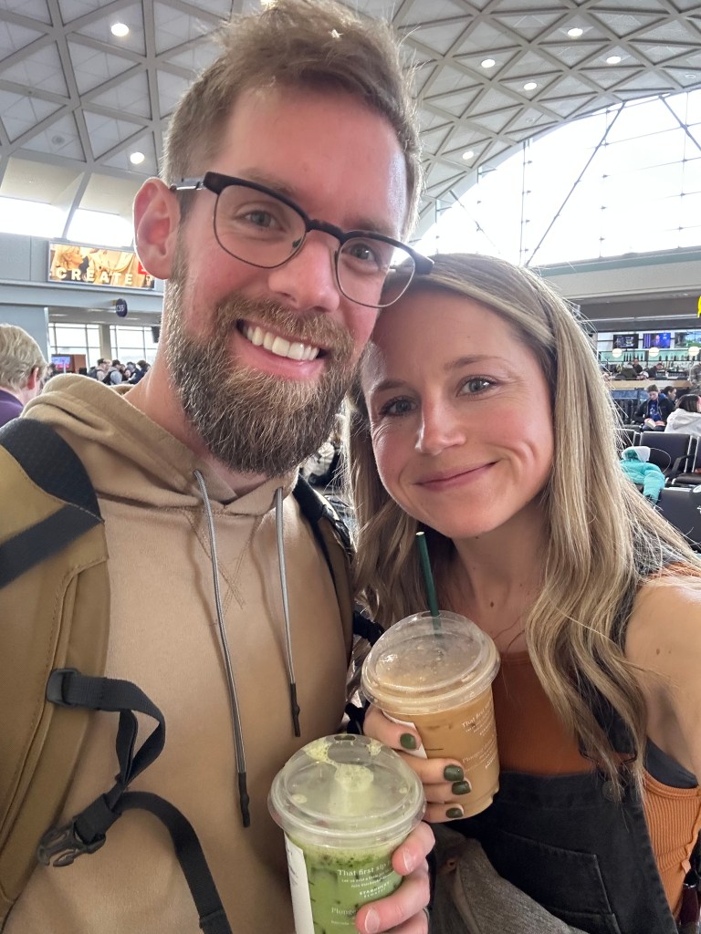
I booked our trip to Ireland while sitting in the airport on route to Tanzania in September. Traveling gets me more excited for future trips and often I find myself planning my next one, during the one I am currently on. I have always wanted to travel to Ireland, and so I decided to finally make it happen. Craig teaches full-time so is limited with days he can travel on, and I really wanted to experience the country with him, so I booked our trip during his April spring break from school, April 7th-15th. Giving us 8 days and 7 nights in the country to see and do as much as we could.
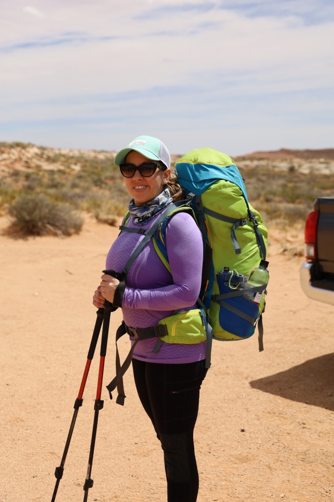
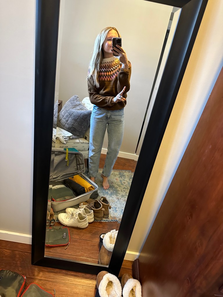

Packing list:

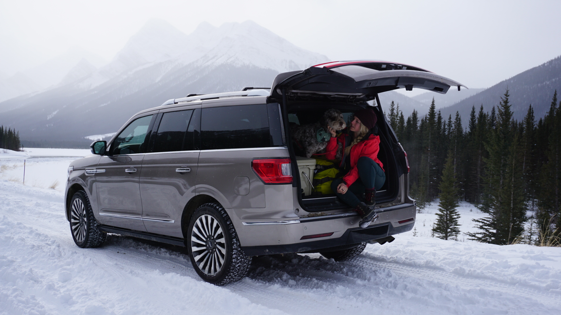
Craig and I did not check any bags when flying, instead flew only carry-on, and each had a 30L backpack. This way we wouldn’t have to deal with waiting for our bags at the carousel, and with it only being one week of travel a carry-on was doable.

April is known to be pretty rainy, but with pockets of sunshine. Our week spent there happened to be a lot rainier than the week prior, and the week after, so rain gear was a must. The average temperatures for April range from 10-13 degrees celsius.

Clothing:

  • 3 jackets – 1 GOOD rain jacket, one thinner longer jacket. and one short puffy
  • 2 pairs of jeans – a blue jean and a black jean
  • 3 leggings – I wore one on the plane then had two pairs to wear there
  • 1 waterproof pant/wind breaker
  • 2 sweaters – ‘cute’ warm wool ones
  • 1 thin turtle neck
  • 1 thicker fleece – Patagonia
  • 3 long sleeves – one for hiking and 2 casual
  • 2 t-shirts
  • 1 plaid shirt
  • 8 pairs of underwear
  • 5 pairs of socks – three pairs of thicker wool/hiking socks and 2 thin ones for my tennis shoes
  • 1 pair of hiking boots – that work as casual boots too – Severson Moc Toe
  • 1 pair of tennis shoes – which I wore on the plane there and back
  • 2 toques

Other items:

  • 1 carry on luggage bag – Expedition 22 Duffel
  • 1 backpack – 30L – Adventurer 30L
  • Packing cubes – which help to make everything easier when traveling
  • 1 pair of thicker mittens
  • 1 pair of thin gloves
  • 1 sun hat
  • Sunglasses
  • toiletries (toothbrush, small lotion, small sunscreen/SPF, small shampoo and conditioner etc).
  • Kuju coffee
  • 1 waterbottle

Electronics (that I brought with me):

  • Camera – extra batters, battery charger, all necessary cords etc.
  • Iphone tripod – I brought one so Craig and I could take photos together or if I wanted to take any photos of videos on my own
  • External charger
  • GoPro
  • Universal travel adapter – make sure you check to see if the one you have works for ireland plug ins. ‘For Ireland the associated plug type is G, which is the plug that has three rectangular pins in a triangular pattern. Ireland operates on a 230V supply voltage and 50Hz’.
  • Iphone/phone charging cable
  • Laptop – I brought my small laptop with me as I had some work I had to do in the evenings

Folder full of printed paperwork:

I often bring printed copies of things, because I love having backups, and it’s easy to refer to when driving/on the go/on the plane.

  • Our flights – Air Canada
  • Booking information for our rental car
  • Booking.com information for all our stays – 7 printed copies of our B&B’s
  • Photo copies of our passports/license.

Currency:

We planned to spend 5 days in Ireland and 2 days in Northern Ireland, and funny enough while planning this trip I learned they are indeed two separate countries with two different currencies. Ireland uses Euros and Northern Ireland uses British Pounds. We paid for our stays and rental car before hand, but I made sure to take out Euros and Pounds before leaving. I brought with me 400Euros and 300Pounds, and we ended up using everything there.

It is easy enough to take our currency at ATM’s there, or to pay with your credit card, but depending on your credit card there could be higher fees, so bringing cash can help you save on that. If you don’t end up using it you can always bring it back to the bank and exchange it back.


How I planned the trip

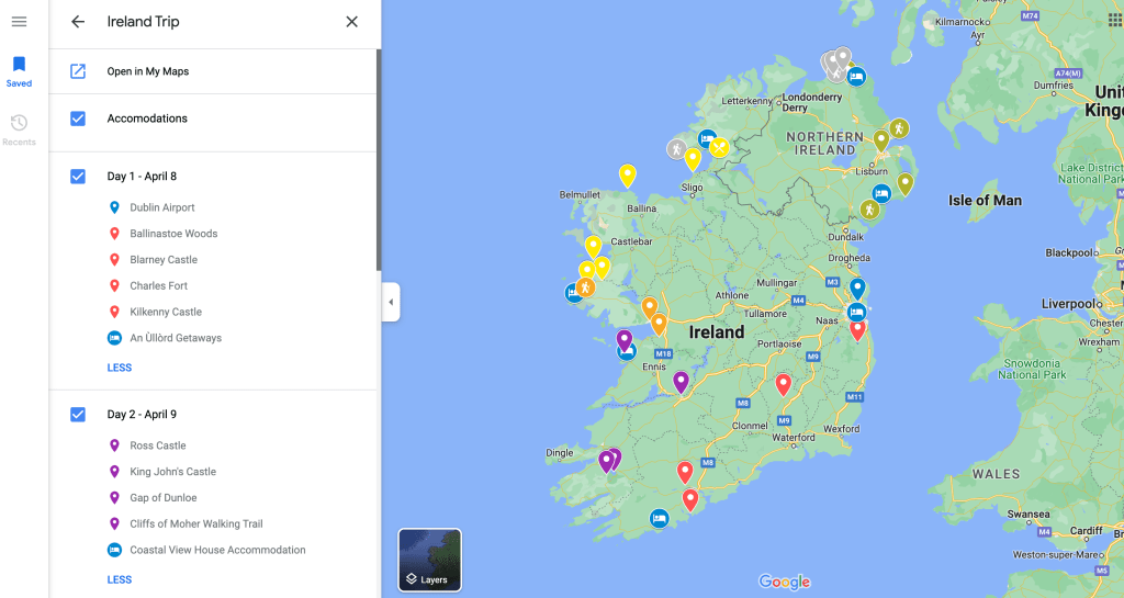
I used Google Maps to plan our entire route around the country, and http://www.booking.com to book our stays.

Google Maps is ideal for planning a trip no matter where you’re going. You can easily add layers to the map, and do a day by day break down, of places you want to stop at. I used different colours to show the daily stops and blue to showcase our accommodations and it helped me to see how far we would be driving everyday. You can click on items and photos will come up for what the places look like, and from there I decided what would be good places to stop at, whether castles, towns, hikes etc.

I researched other blogs too, and what people recommended for places to see along the way. I tried to add in 4-5 stops a day. We had days where we were in the car for 4 hours or so, and others was 1.5-3. I would suggest 10-14 days for the route we did, and not 8 as we were moving pretty quickly and had to miss some spots, but I will get to that later in the post, on things I would have done differently or made sure not to miss out on! We just had a limited amount of time.

Most people when they visit Ireland, and only have one week stick to JUST the South or JUST the North, to avoid long driving days. But here is my map for the week. It is doable, if you’re okay with being busy.


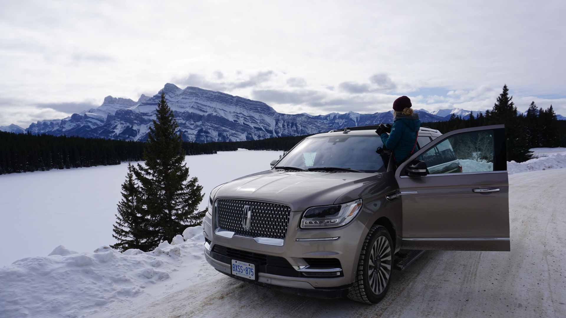
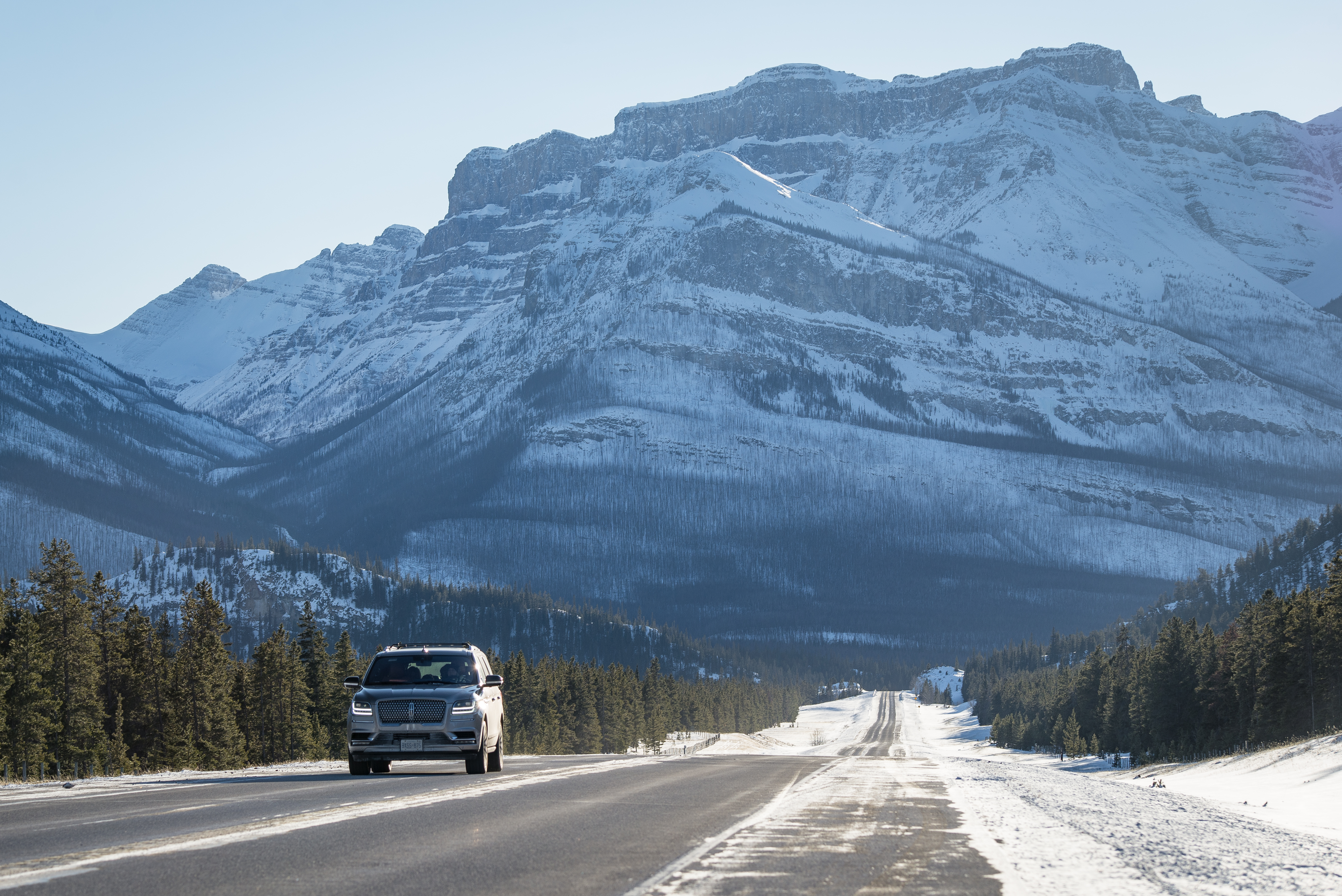
Rental Car Information:

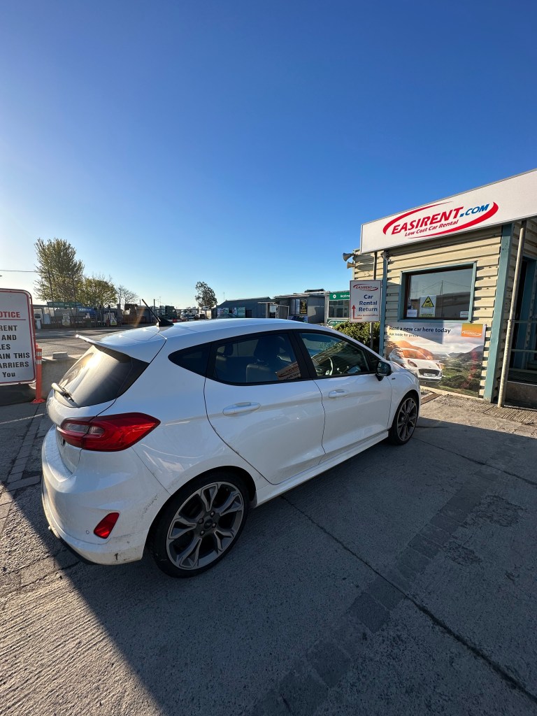
Given Ireland roads are left side drive, and the steering wheel is on the right side of the vehicle, I figured it was best for us to rent an automatic car, and not a manual. This is more expensive, but we felt it was worth it, as driving on the opposite side of the road is a challenge enough in itself, without then figuring out how to shift with your left hand.

I booked our rental car through www.QEEQ.com. Saturday to Saturday, for $737.51CDN dollars. Average of $100CDN/day. Our car came with unlimited mileage (make sure you check for this), as we ended up driving 1800kms in the 8 days. A manual car was around $200CDN less.

I booked the car under MY name, but should have booked it under Craig’s name as they had us pay $70 more to add another driver, even though the plan was to always have only Craig drive during our trip.

We shuttled from Dublin Airport to the rental car location, a short 5 minute drive:

  • Address: EASIRENT CAR HIRE, Dubling Airport, Collinstown Business Park Swords Road, Cloghran, Dublin K67 C7D0, Dublin, IE.
  • Once we got out of the airport all I had to do was call Easirent for a pickup, and they sent a van to grab us. We were only waiting maybe 5 minutes.

Be sure to check with your credit card company about insurance, instead of just denying or accepting the insurance by QEEQ or Easirent themselves.

Drop off the last day was at the same address. We dropped off the vehicle and they shuttled us 5 minutes to the departures terminal at the Dublin airport.

The process was quick and easy! Would recommend Easirent car hire.
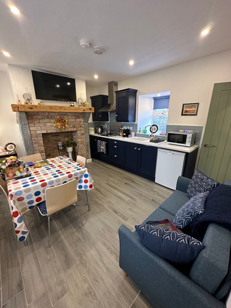
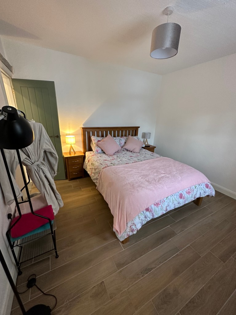

Accommodations:

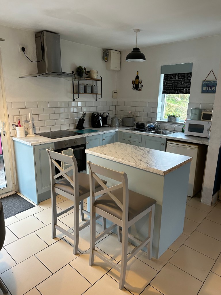
It was important to the both of us to stay in places that were outside the busier cities, away from the crowds or ‘busyness’. Some of the places had kitchenettes, so we were able to cook, whereas others didn’t so we went out for meals. We wanted the balance, in order to save some money on eating out for every meal.

Every accommodation had coffee/tea provided in room, with a kettle available. I did bring Kuju Coffee with me, as I heard Ireland doesn’t have the BEST coffee, and that is correct. They use a lot of instant Nescafe packages. So if you are like me and want a good cup of coffee first thing in the am, bringing your own may be a good idea, or if you ain’t picky, they have some at every accommodation.

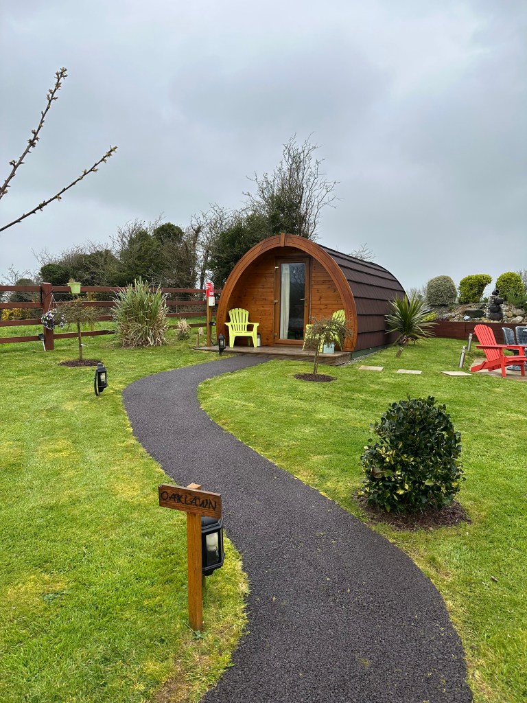
Night 1: Clonakilty Accommodation An Ullord Getaways – $148CDN

  • Address: Grancore North, P85EK57 Clonakilty Ireland

Night 2: Coastal View House – $176CDN

  • Address: Cahermaclanchy Doolin, Doolin Ireland
  • Communal mini fridge – in the hallway

Night 3: Waterfront Rest B&B – $139CDN

  • Address: Derren, Sky Road, Clifden, Ireland

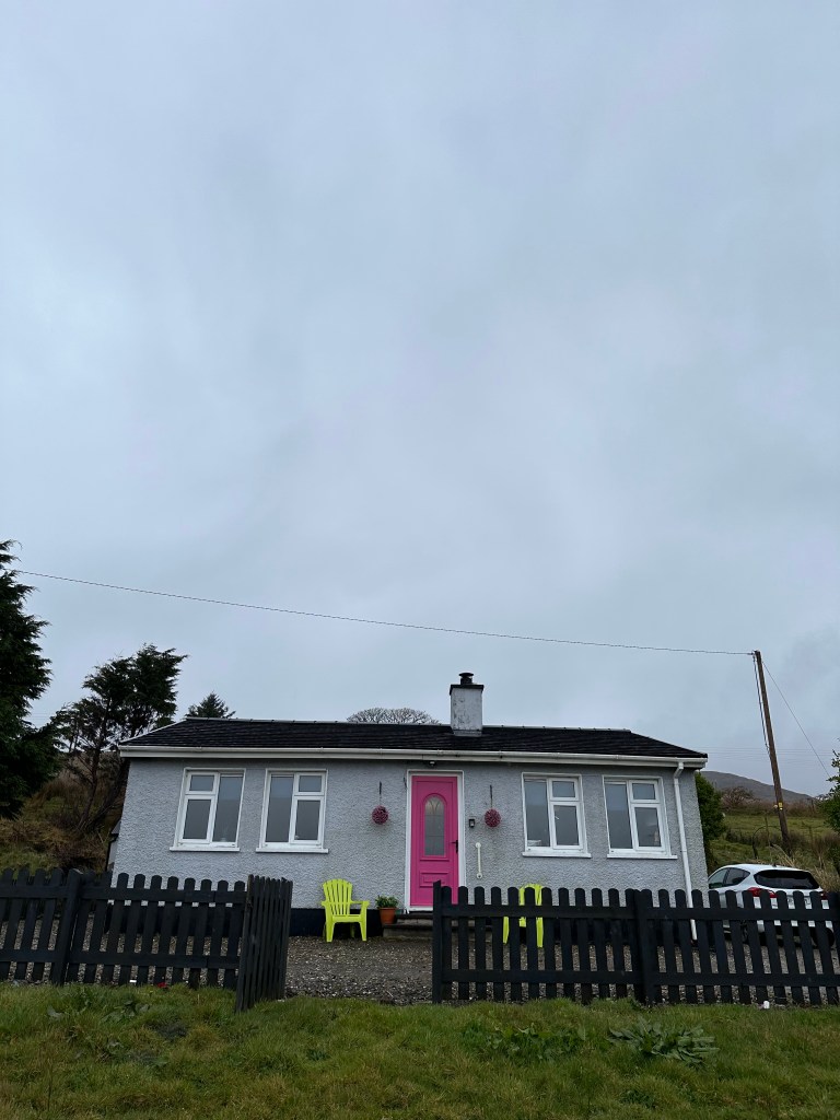
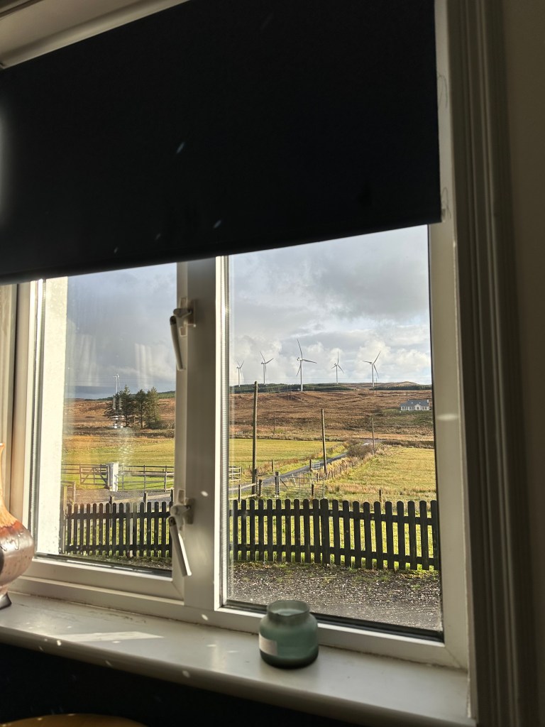
Night 4: Windmill Cottage – $142CDN

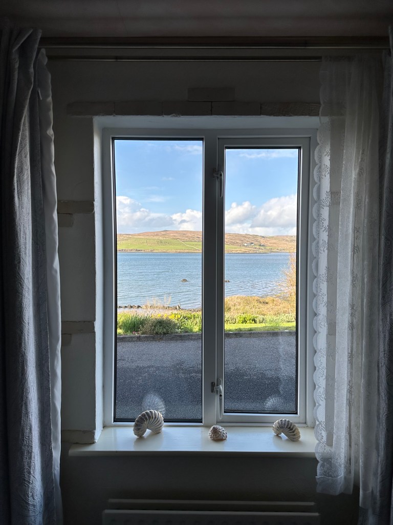
  • Address: Donegal Binbane P.O, DOnegal, Ireland
  • We loved the view from this cottage, of the windmills
  • Wishing we would have had more time in this area to explore
  • The only accomodation with laundry, so I was able to toss a couple items in.

Night 5: Churchview B&B – $150CDN

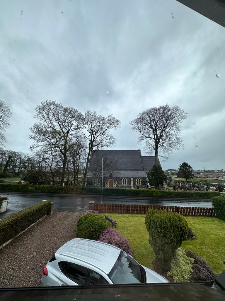
  • Address: 15 Church Road, Ballycastle, BT54 6EA, United Kingdom
  • We originally had booked Glen Haven B&B, in Ballycastle, though when we arrived the owner was having issues with the bathroom, so she moved us to one of her friends places a couple blocks away. Churchview is pictured below. I forgot to take a photo of the outside, but this is the view!
  • Glen Haven is $150CDN but Churchview is $220, but Churchview matched the price, due to the troubles at Glenhaven.
  • Breakfast was great, and the owner was amazing. Very knowledgable, social but yet respected our space in the morning and let us do our thing after she cooked us breakfast.

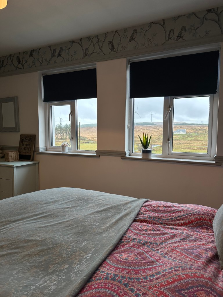
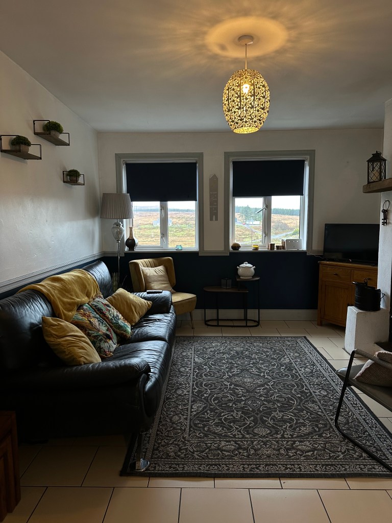
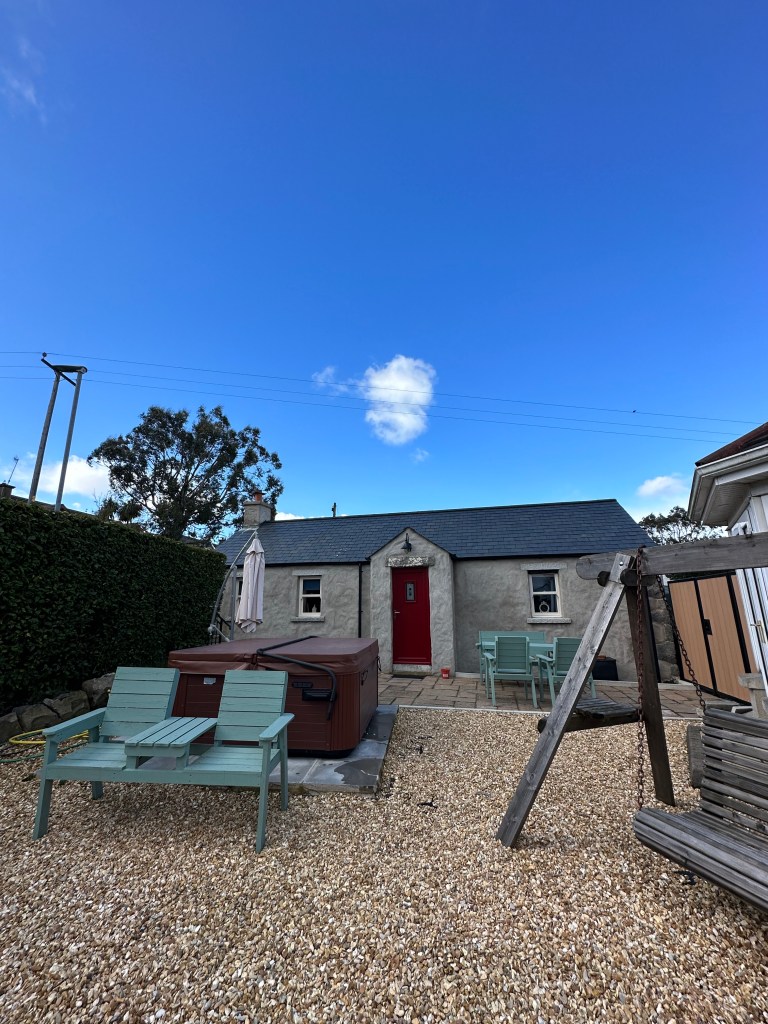
Night 6: Lizzie’s Cottage – $253CDN

  • Address: 29 Clonvaraghan Road, Crumaroad, BT31 9Ju, United Kingdom
  • This was our favourite stay of the whole trip. The host was amazing, the kitchenette was great, the location. and the fact that it had a hot tub. A great perk! Was worth the higher cost, in comparison to other places we booked.

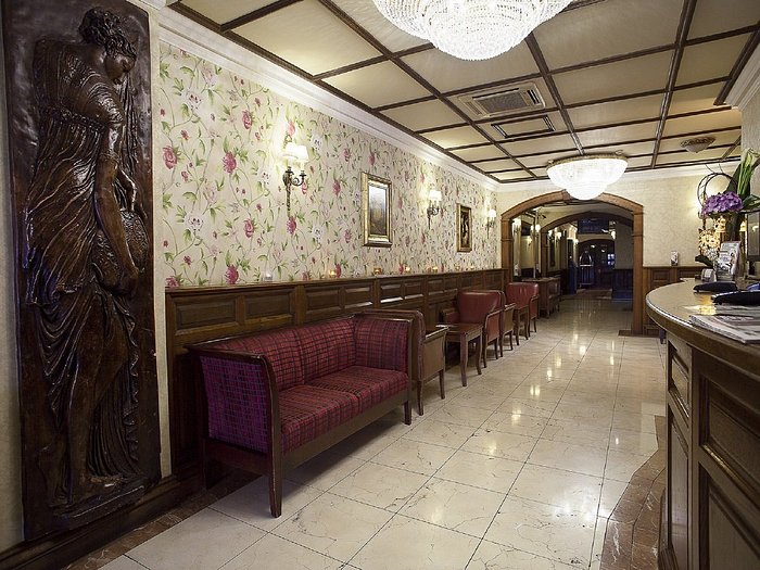
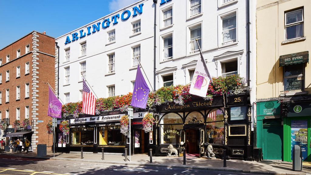
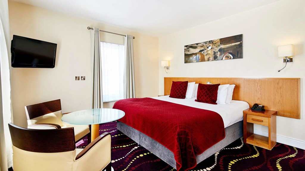
Night 7: Arlington O’Connell Bridge – $272CDN

  • Address: 23-25 Bachelors Walk, O’Connell Bridge, D1 Dublin, Ireland
  • We splurged a bit on this hotel, because we wanted to be right downtown in the hub of things. We were able to walk everwhere. We parked our rental car at a parking garage directly behind the hotel, which was a 5 minute walk.
  • There are a number of places to stay in Dublin, and really once we got there and got walking around we realized we probably could have booked something cheaper, as we spent our entire time there exploring, and not even in the hotel room, and things were close together.
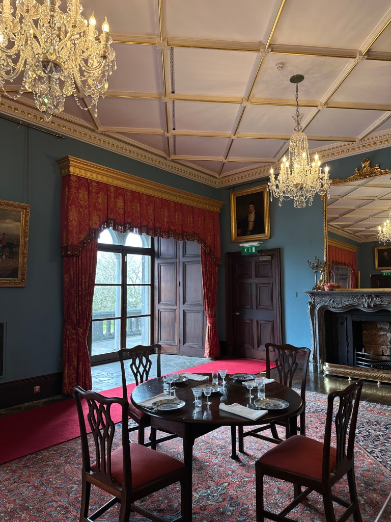
  • Images taking from google

Itinerary:

I highly suggest doing this trip in 10-14 days, if you are going to circle the entire country. 2 weeks being ideal, in order to fully take it all in.

April 8th – Saturday, Day 1 – 330kms – Dublin to West of Kinsale

We flew into Dublin at 8am on Saturday April 8th, and given it was Easter weekend we thought it would be best to head directly out of the city, to avoid the ‘busyness’ and then end with Dublin on the last day, before flying out. We picked up our rental car and started the drive down South.

If we had more time I would have stopped in the Wicklow mountains the first night, or spending your first night in Dublin, and then the last day. Depending if you want more time to explore the big city!

On our way South I had a couple places pinned to google maps:

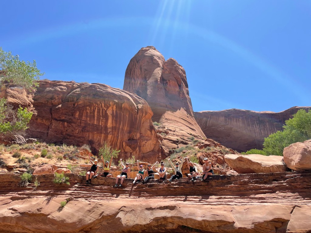
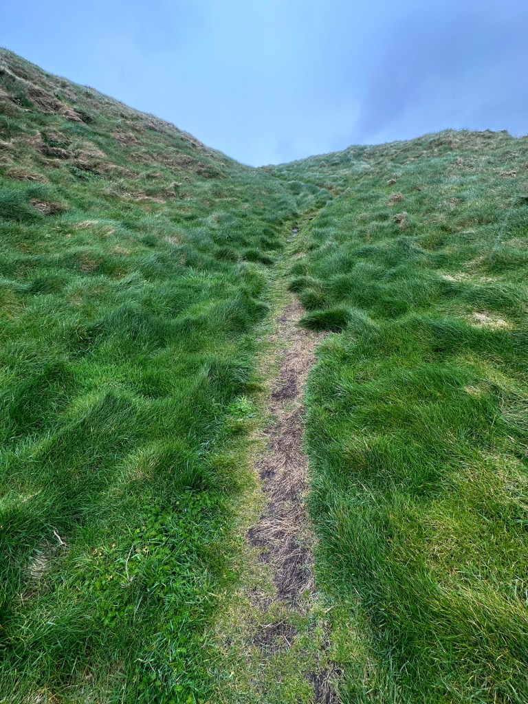
  • Wicklow mountains – Ballinistoe Woods. A great place to hike. I could easily come back to Ireland and spend a week exploring around the Wicklow mountains.
  • Blarney Castle – if you are wanting to kiss the Blarney Stone!
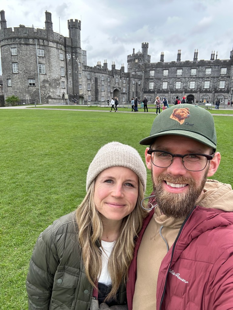
  • Kilkenney + Kilkenney Castle – Admission was 20Euros/adult – you can explore the yard for free, but if you want to go inside the castle itself you do have to pay admission.
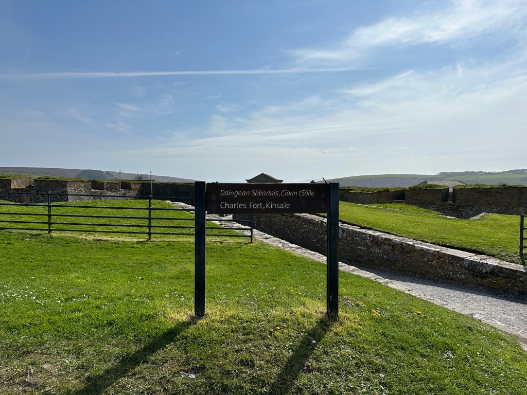
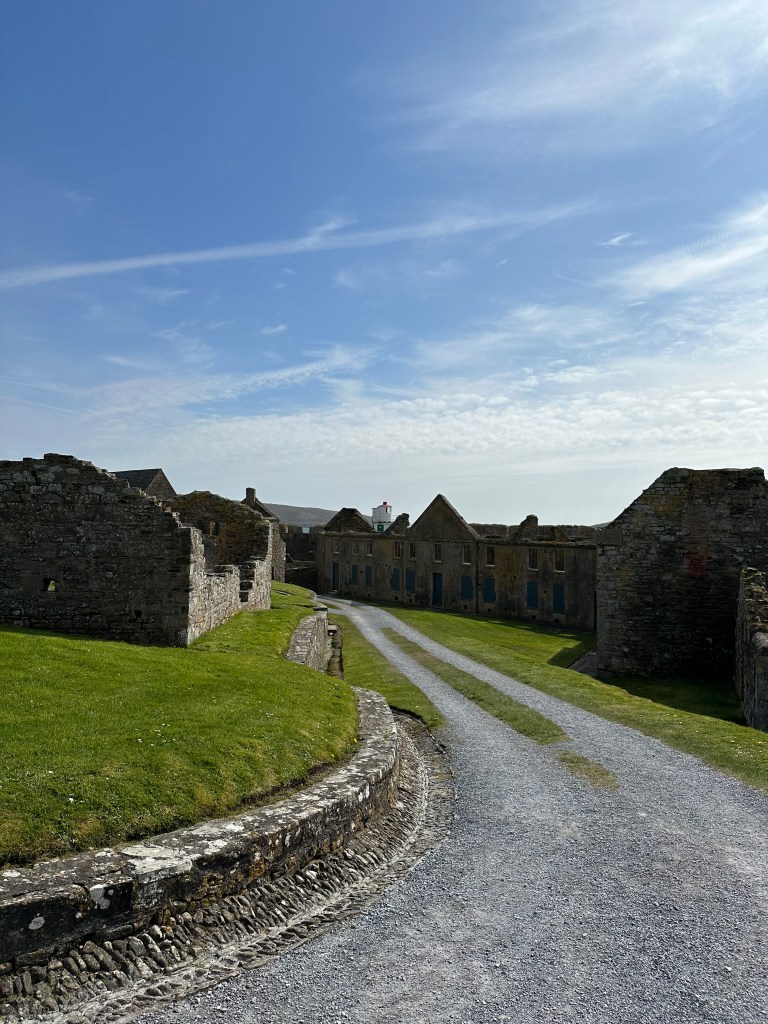
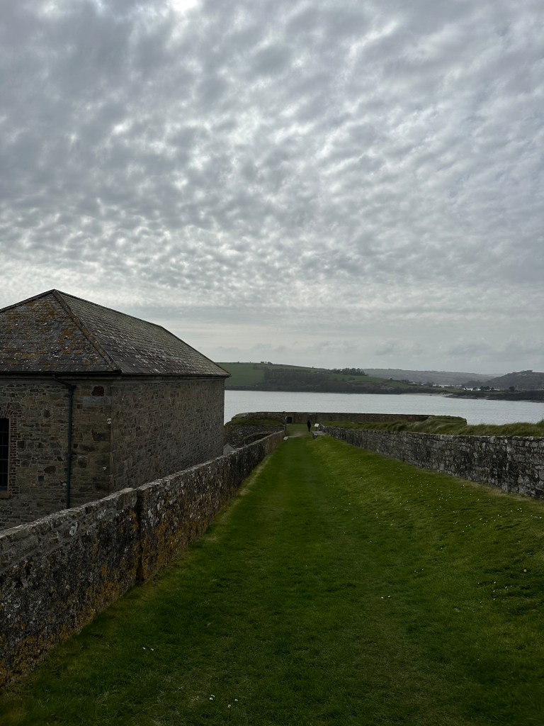
  • Charles Fort – Just outside of the town of Kinsale – 5Euros/adult to walk around
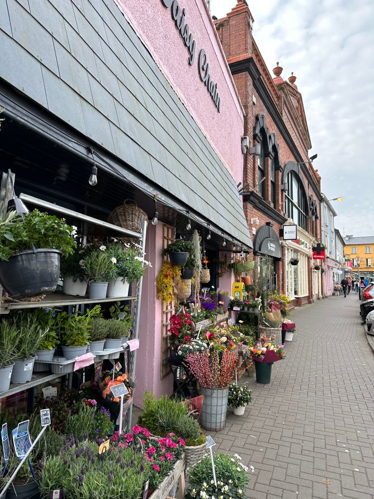
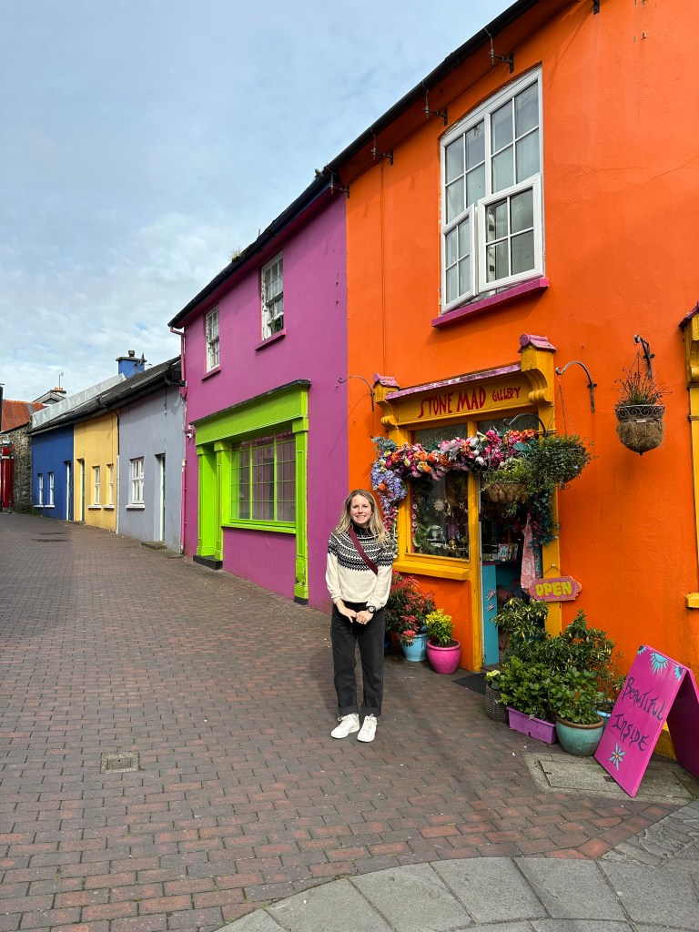
  • Kinsale – We then drove into the town to take a look at the buildings, and grab a bite to eat
  • We then made our way to our accommodations for the night. A 30 minute drive from Kinsale
  • Clonakilty Accommodation An Ullord Getaways
  • We were absolutely exhausted, after arriving early in the morning, and with the 7 hour time difference from home and very busy first day. We were asleep by 8pm and slept until 8am.

April 9th – Sunday, Day 2 – 205kms – West of Kinsale to Doolin

  • We left our glamping pod at around 930am and started our drive North West, towards Killarney National Park. I HIGHLY suggest adding on an extra day here, or two and spending it driving the Ring of Kerry, and then over in Dingle. We had to miss these due to our timeframe. The coastal drives are so beautiful and so many people that I talked to said Dingle was their favourite stop in Ireland.

Our stops for the day:

  • Bantry – For morning coffee and a quick breakfast grab
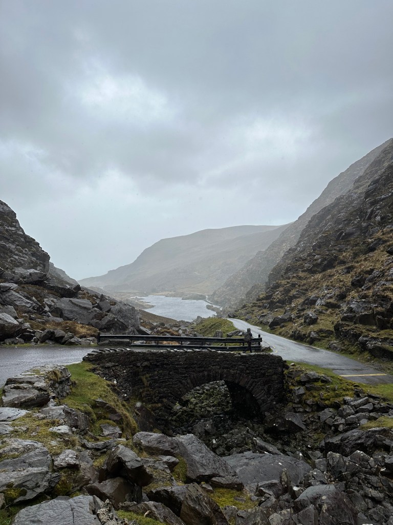
  • Gap of Dunloe – a beautiful drive – though very sketchy road – that makes it hard to pass others coming the other direction. I advise entering through the North and not the South, like we did, as the road coming towards Gap of Dunloe will be wider and a quicker drive.
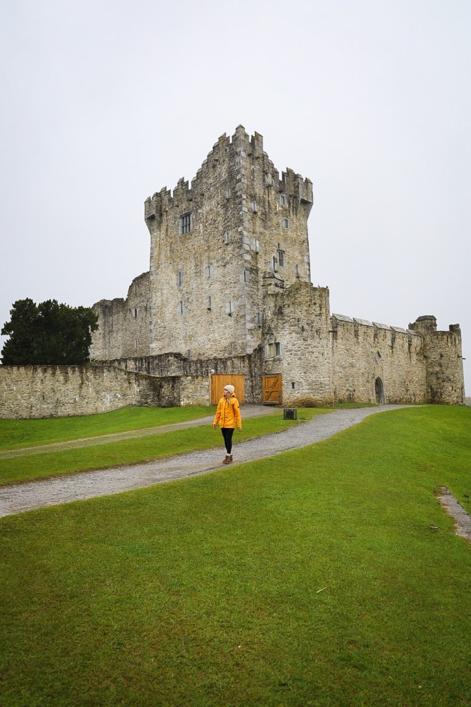
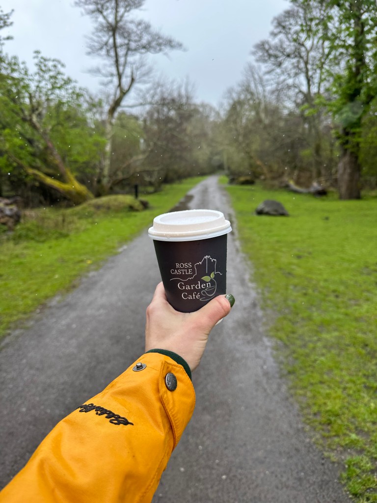
  • Ross Castle – 5Euros/adult – We didn’t pay admission to go in, instead grabbed a coffee out back at the Ross Castle Garden Cafe, and walked around the grounds.
  • King Johns Castle – We ran out of time but I suggest stopping here if you have the time.
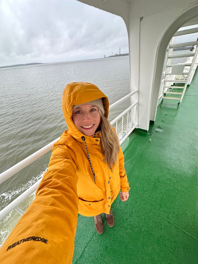
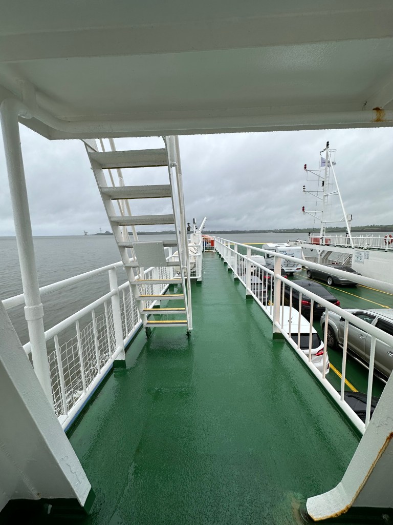
  • Tarbert ferry – We took a ferry from Tarbert to Killimer, which took off 1.5 hours of driving. The ferry runs every hour on the half hour, so we took it across at 5:30, and then had an hour drive to the Cliffs.
    • 23Euros/car
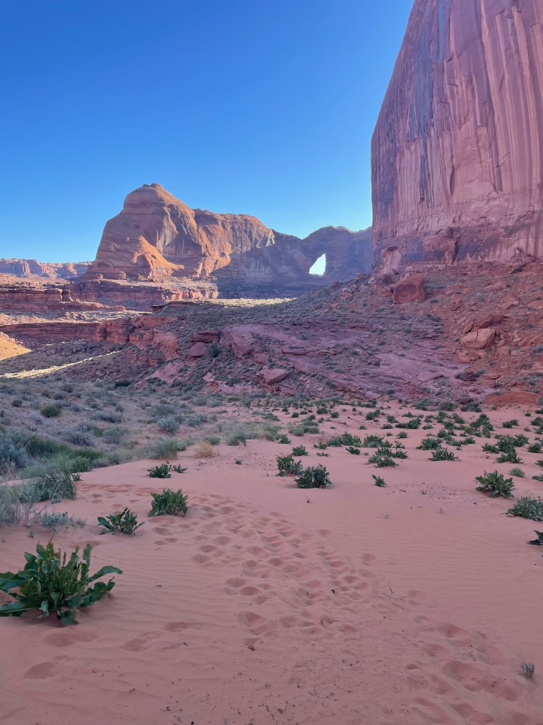
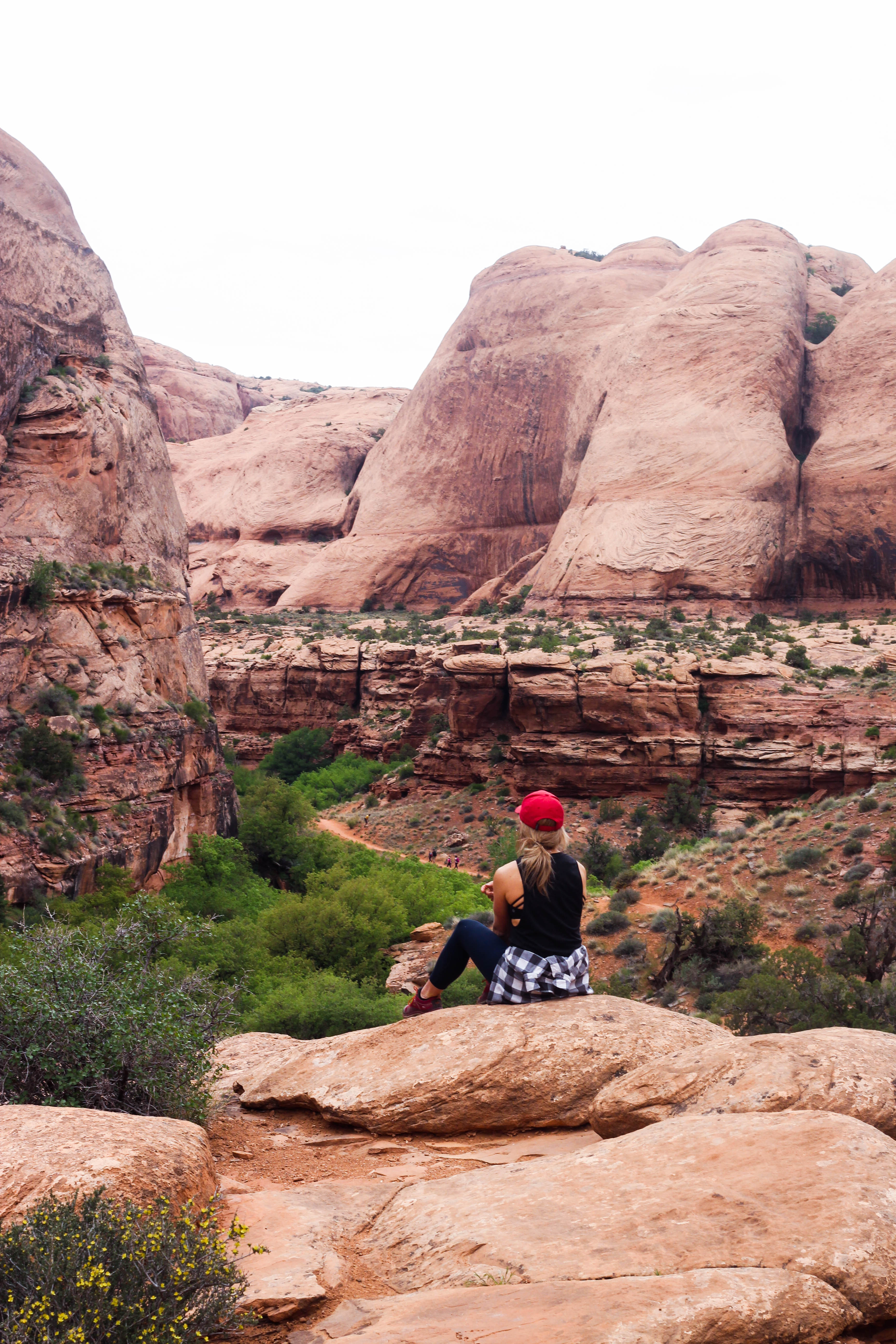
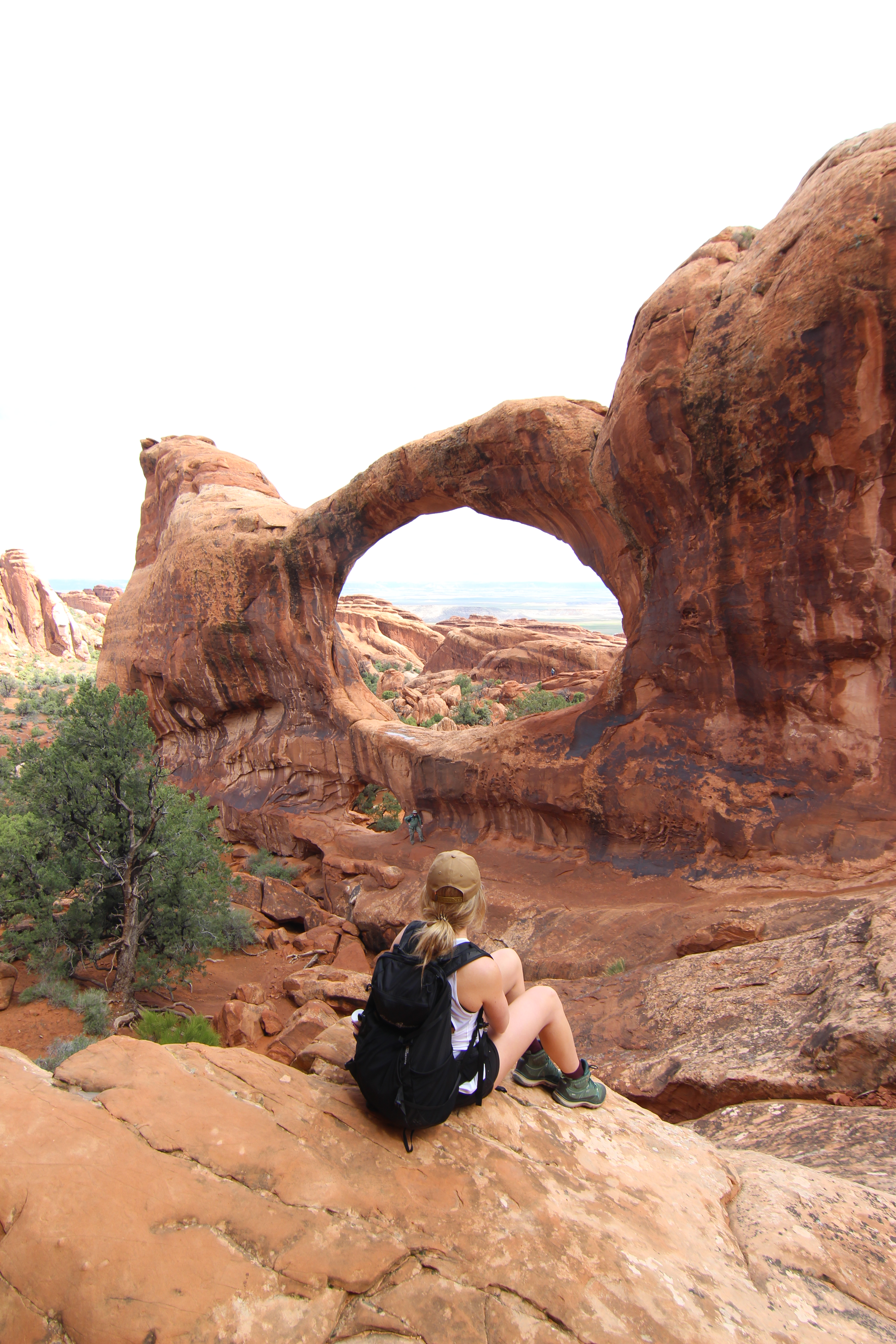
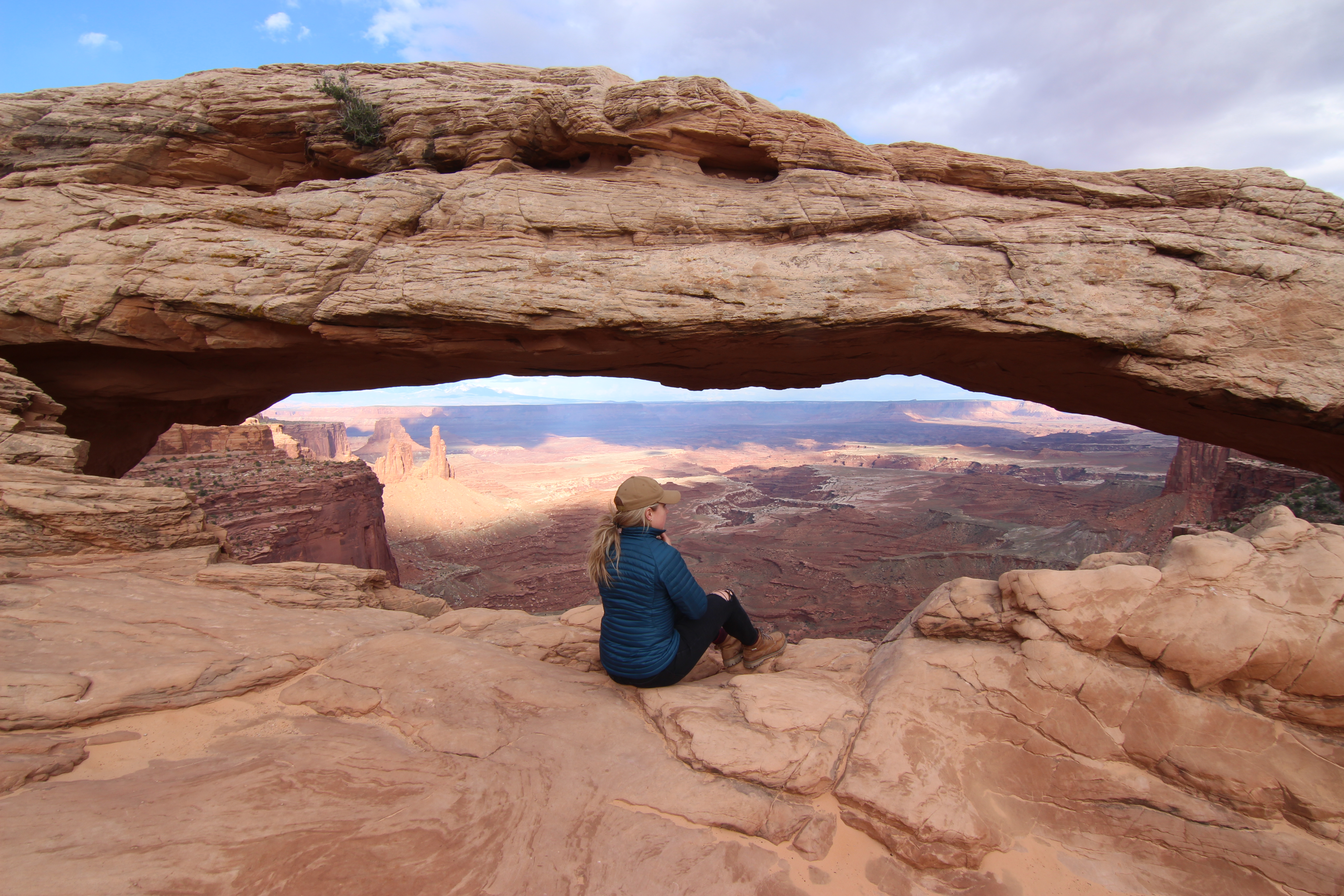
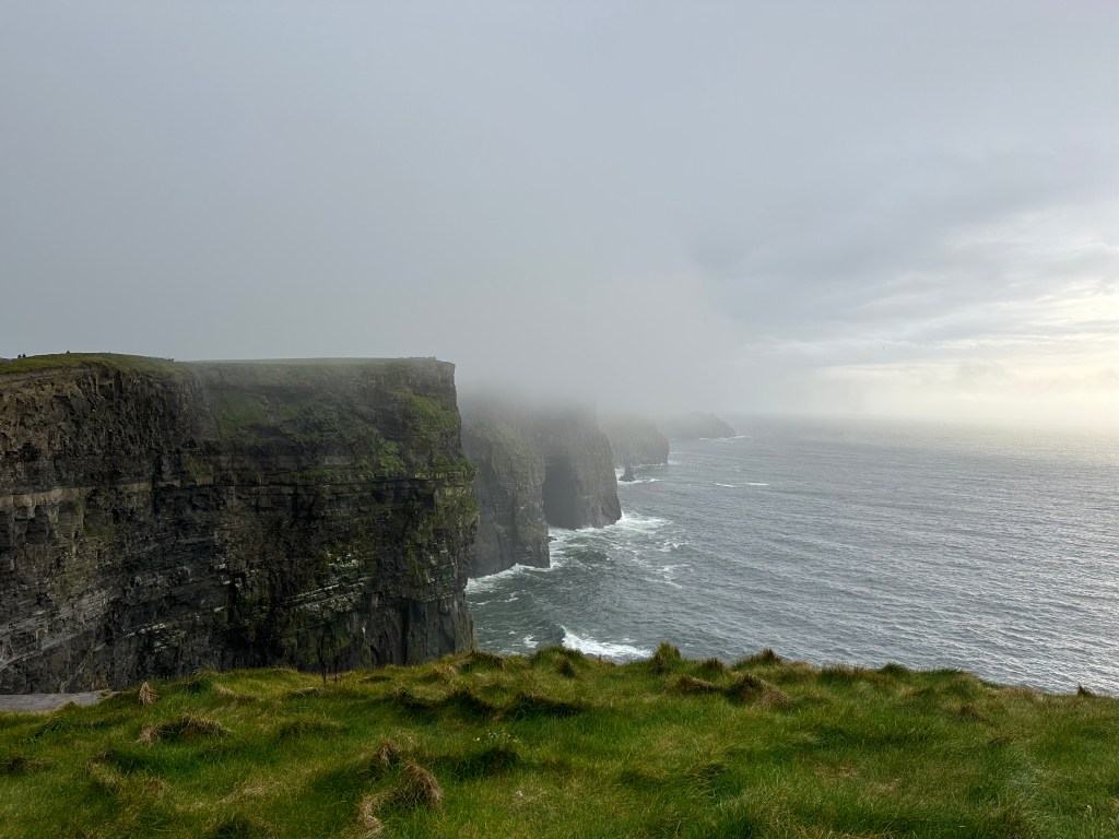
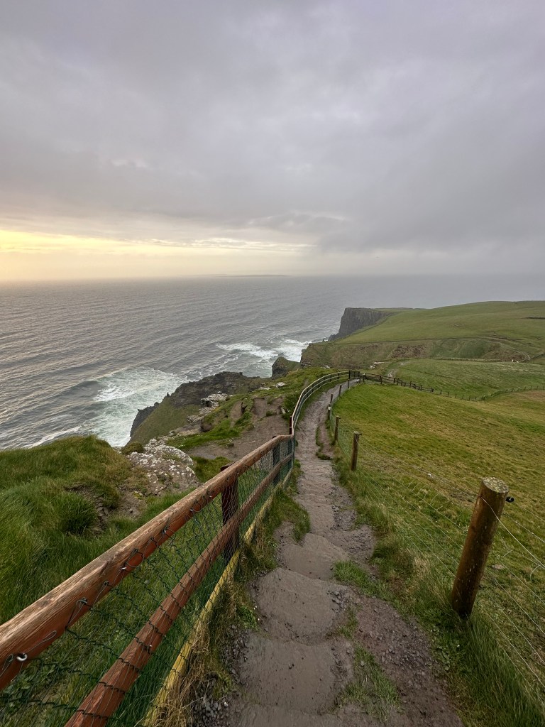
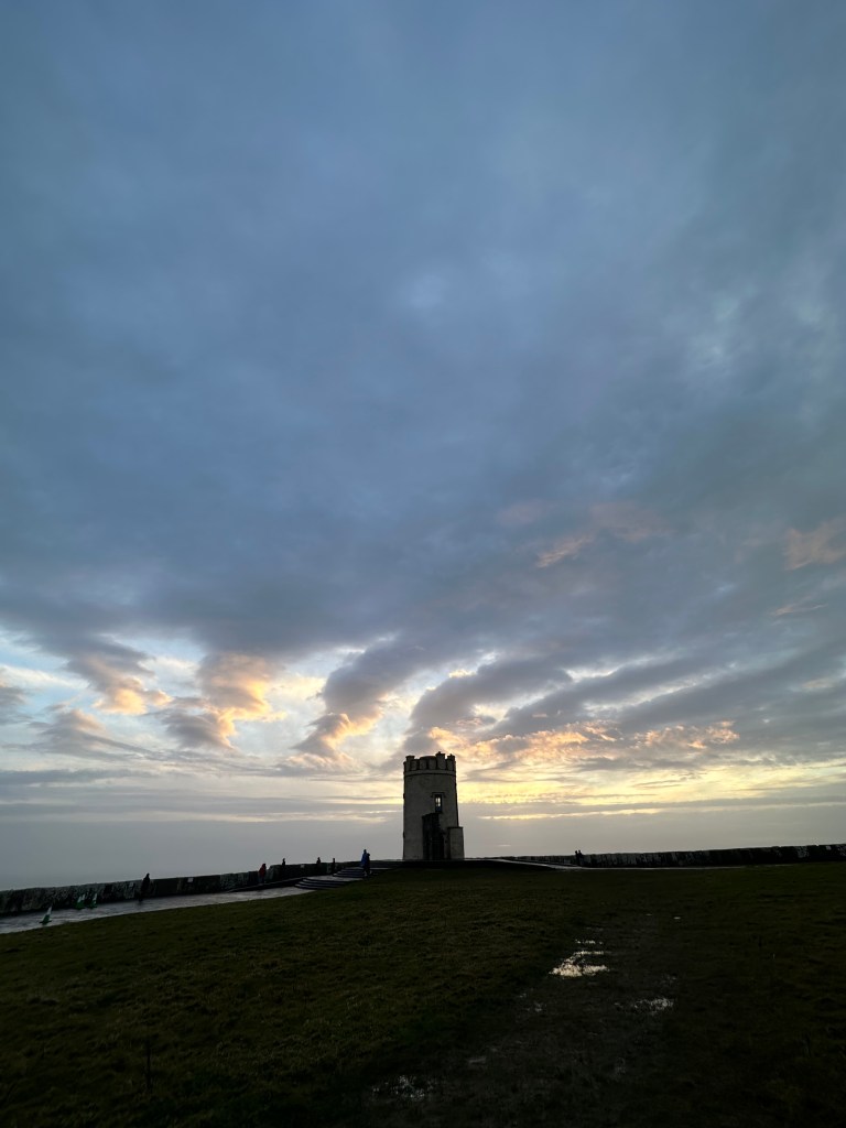
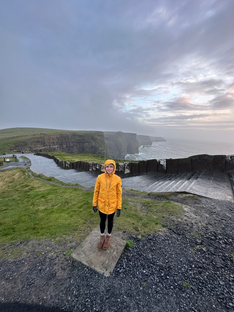
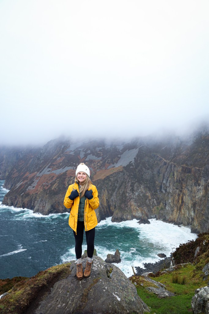
  • Cliffs of Moher – I was SO excited to get here. It rained most of the day, but when we arrived at the Cliffs end of day it ended up clearing for us and we had a beautiful sunset. I suggest hiking as far as you can along the pathways, to get away from the ‘tourist spots’ and you will have a beautiful view all to yourself.
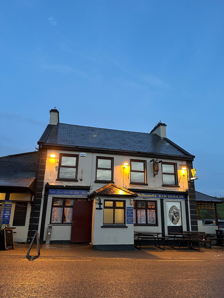
  • We then made our way to our accommodation for the night, at the Coastal View House, checked in, and headed out for a late 9pm dinner. We drove a couple minutes down the road into Doolin and ate at McDermott’s Bar.

April 10th – Monday, Day 3 – 150kms, Doolin to Clifden

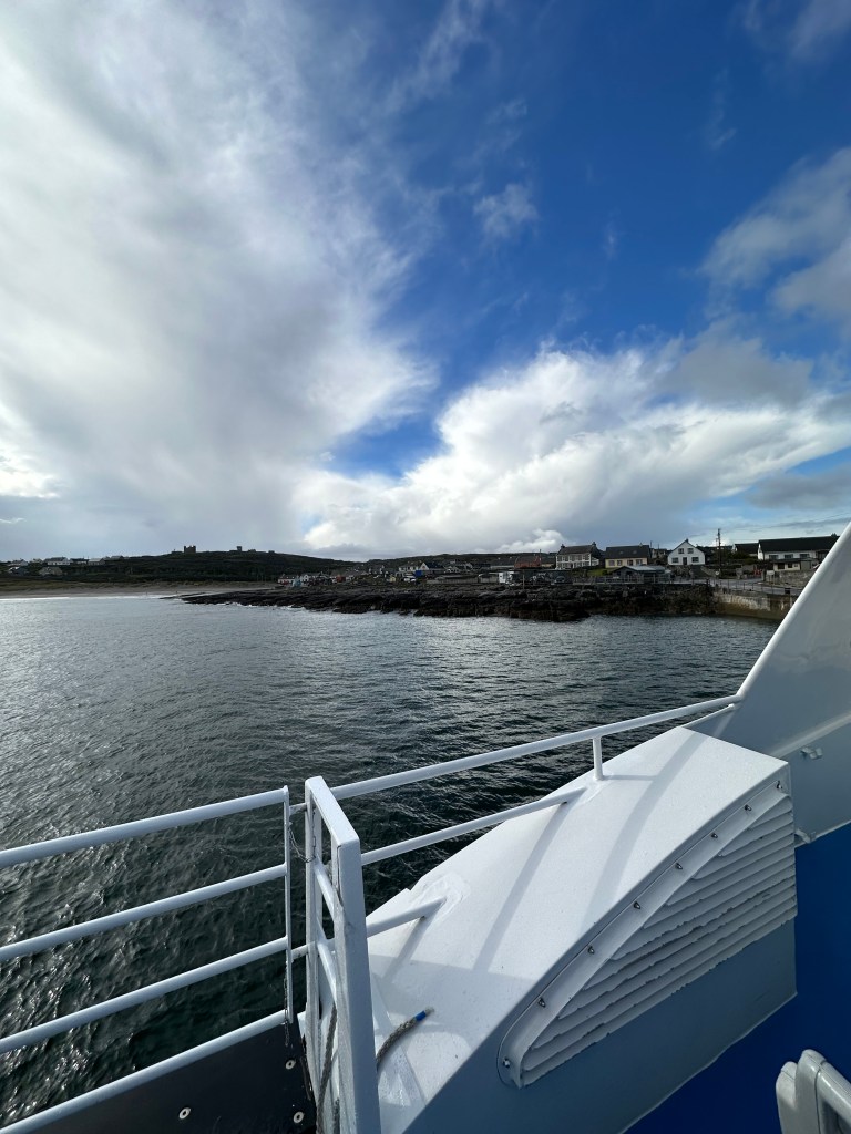
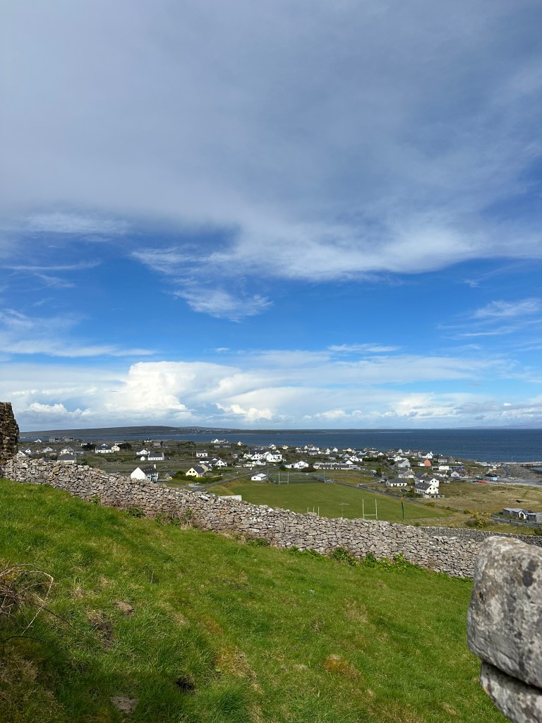
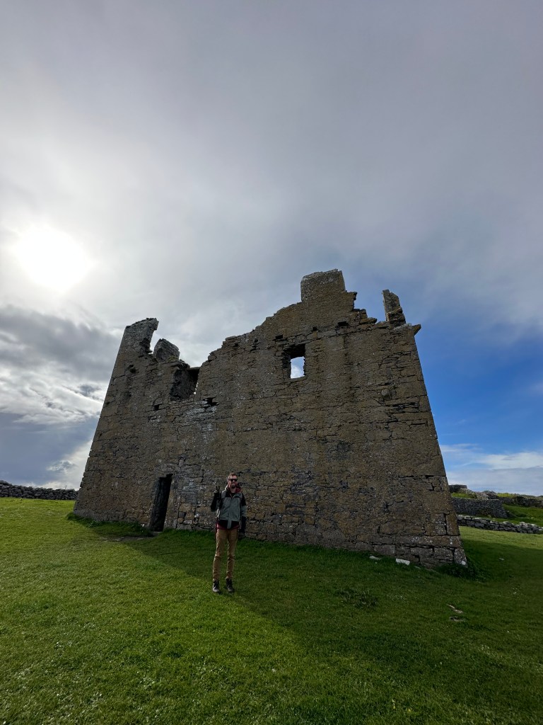
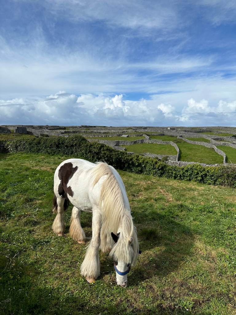
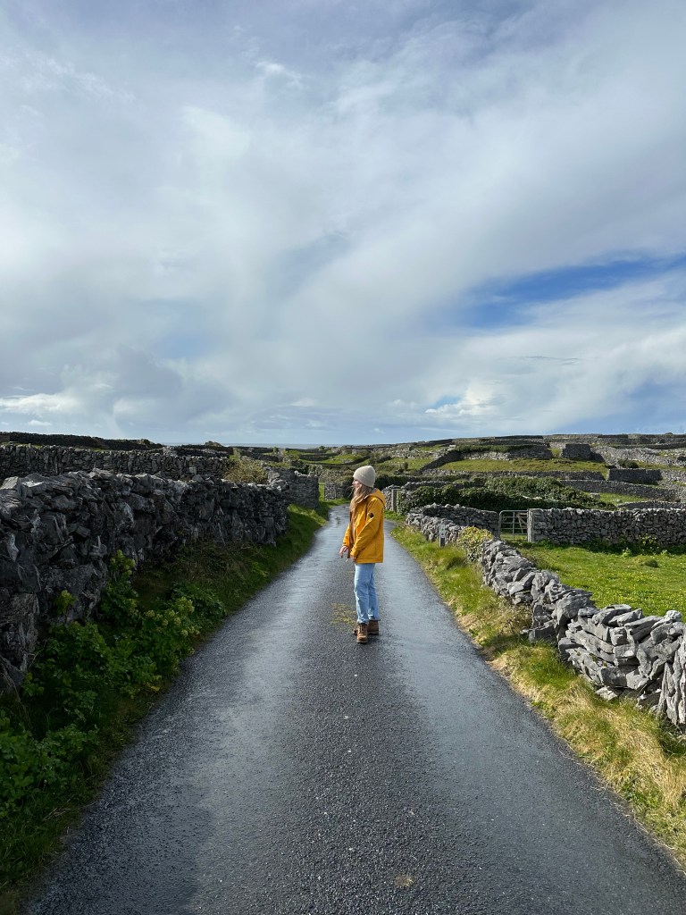
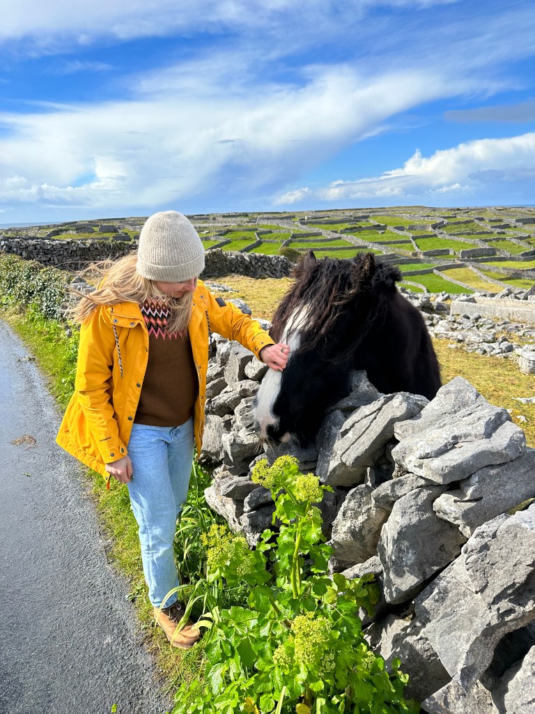
  • Aran Islands – This was a day before idea as I didn’t really have a lot planned for Day 3 other than a castle, exploring Galway and then hiking Diamond Hill for sunset. So happy someone told us about the Aran islands. It was a 10 minute drive from our stay to the ferry.
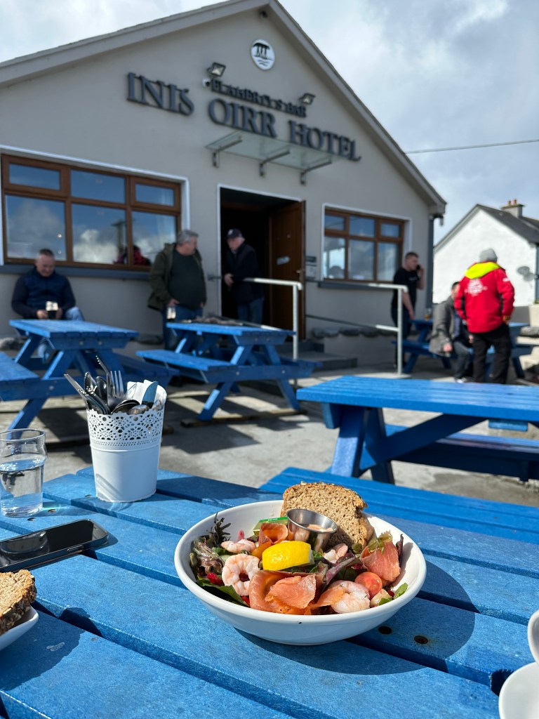
  • It was a 15 minute ferry ride from Doolin over to the first island. We went to the smallest one, Inisheer.
    • Our ferry left at 10am, and we returned back on the earliest ferry, 145pm. 3 hours there was plenty time to walk around, explore, take photos and grab a bite to eat at one of the only restaurants on the island.
    • My only regret is not picking up one of the Aran wool sweaters sold at the local shop.
    • It was 34Euros/adult return
    • Highly suggest doing this, was one of my highlights
  • Dunguaire Castle – Is on the way from Doolin to Galway and a quick stop
  • Galway – A beautiful city if you have time to stop, explore and walk the streets. We drove right around it as we wanted to make it up to Clifden area for our sunset hike.
  • I highly suggest staying two nights around Galway if you can as there is so much to do.
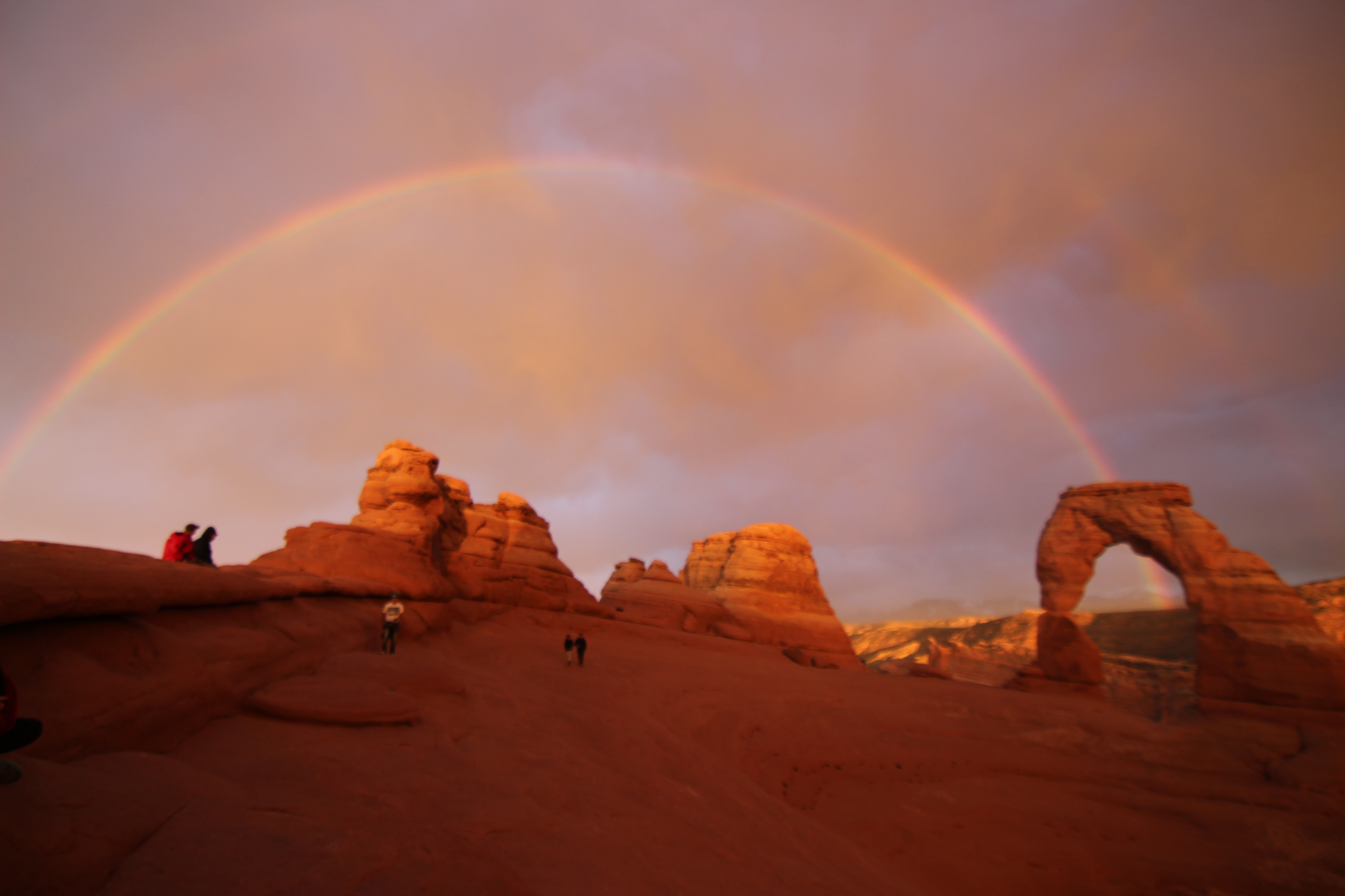
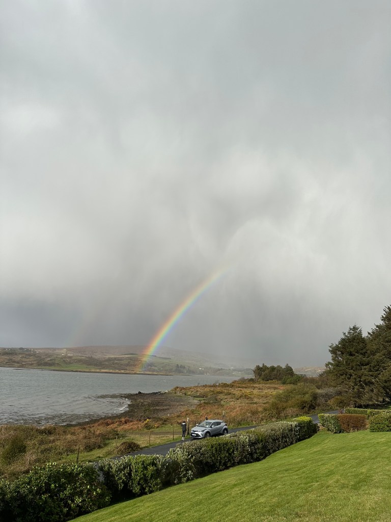
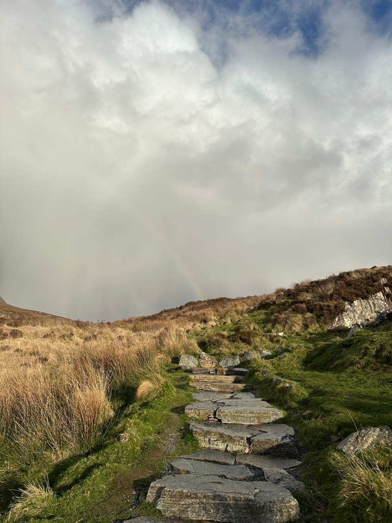
  • We checked into Waterfront Rest B&B. Shortly after we arrived a beautiful rainbow lit up the sky in front of the B&B.
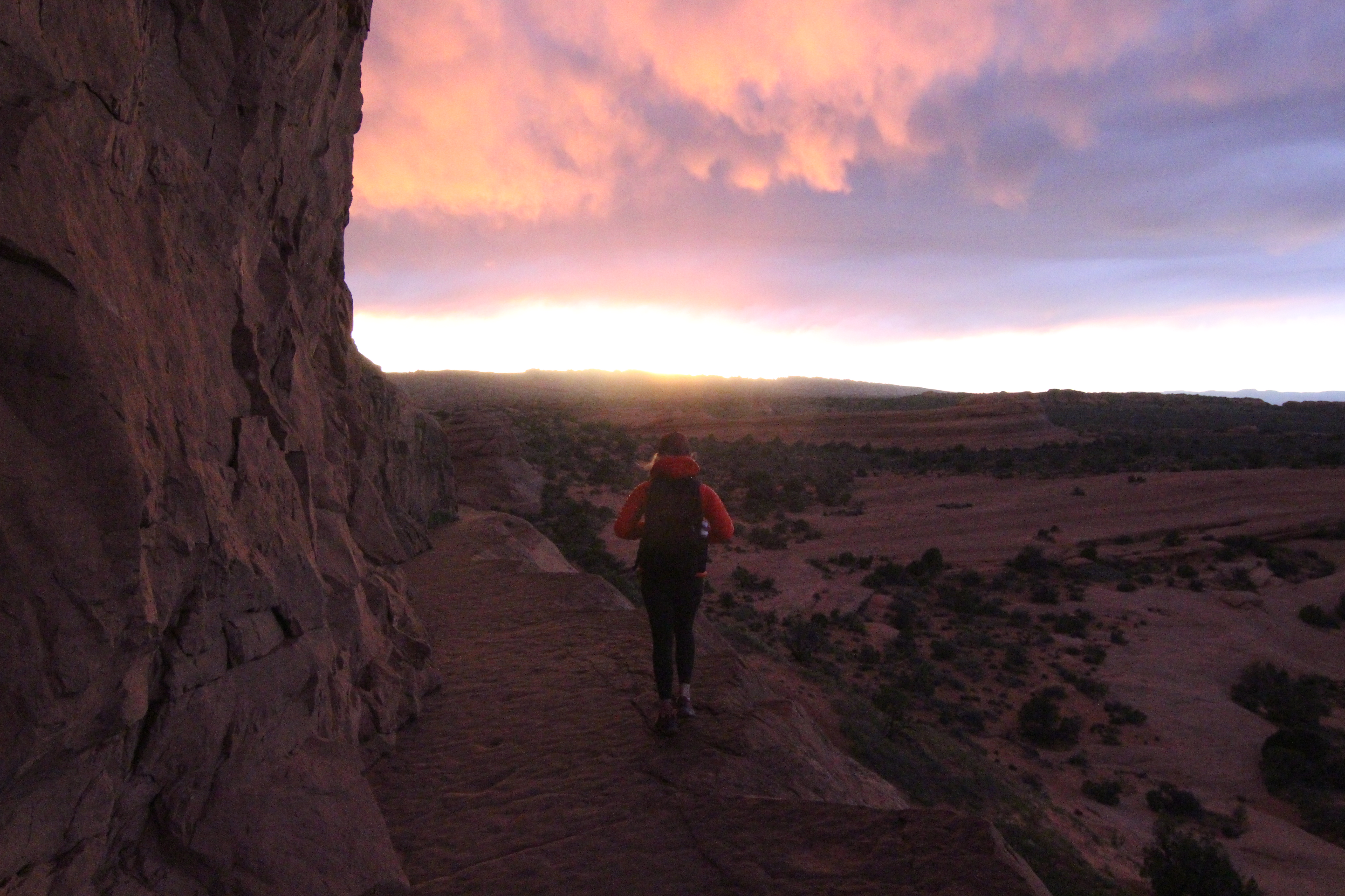
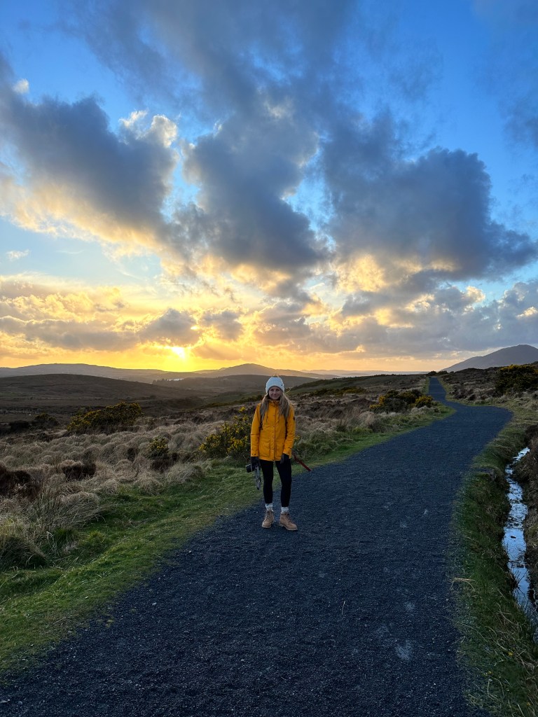
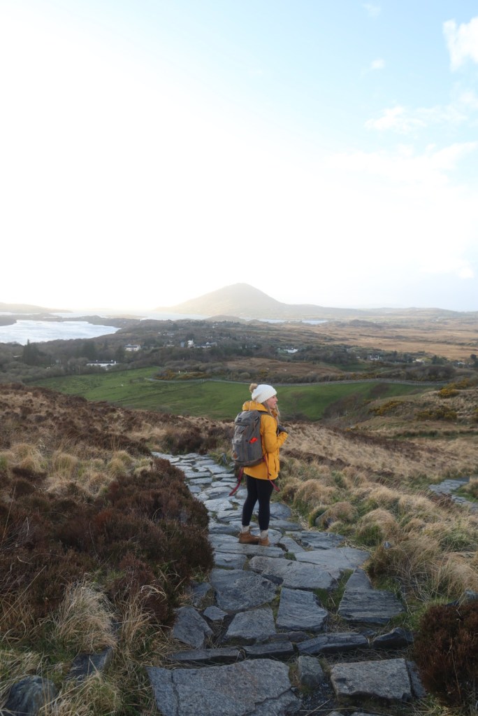
  • We headed back out for an evening hike to Diamond Hill. There are a variety of trails you can take in this area, Connemara National Park. We didn’t do the higher Diamond Hill hike, though instead took the lower route, that looped us back to the car, and took 1.5 hours to complete.
  • I would have loved to have longer in this area too. Two nights here would be suggested.

April 11th – Tuesday, Day 4 – 227kms – Clifden to Donegal

  • Craigs Birthday!!! What better place to spend it, than in Ireland. Right?
  • This was a long day of driving, which is why I suggest two nights in Clifden and two in Donegal area.
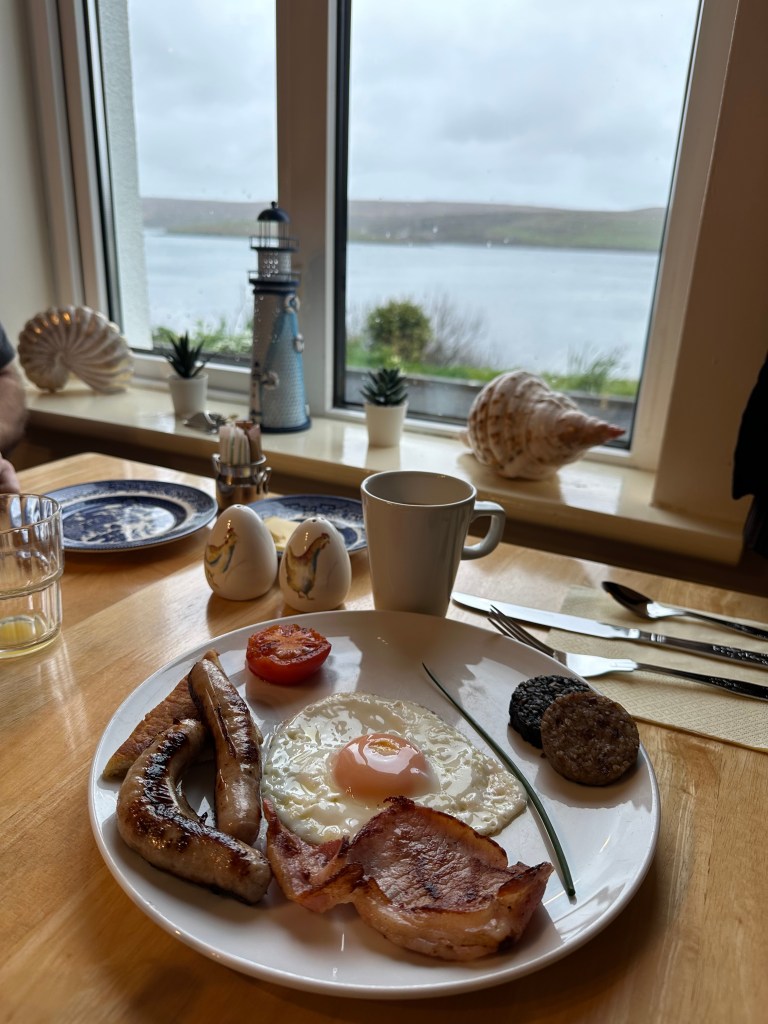
  • We woke up and had a nice breakfast provided by the B&B, she asked us the night before if we wanted a traditional Irish breakfast (eggs, etc) OR pancakes. There was also a dry breakfast, cereal, juice, toast, fruit, yogurt, etc. provided on top of the rest.
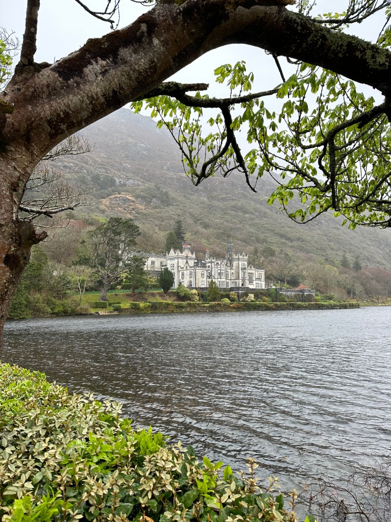
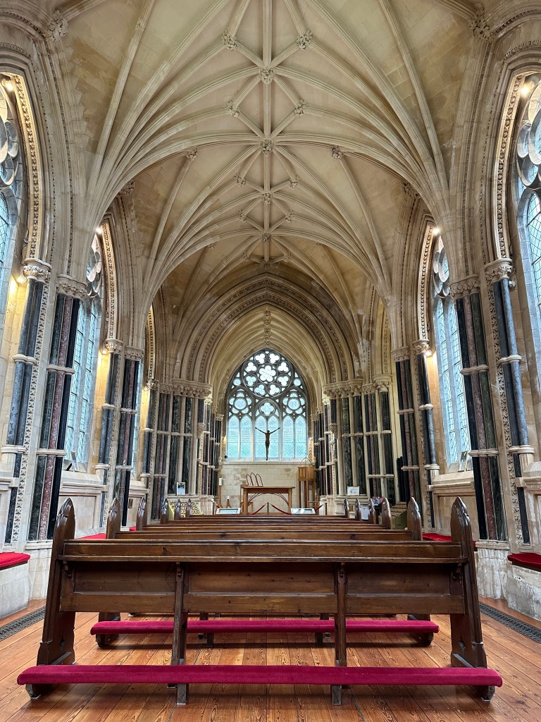
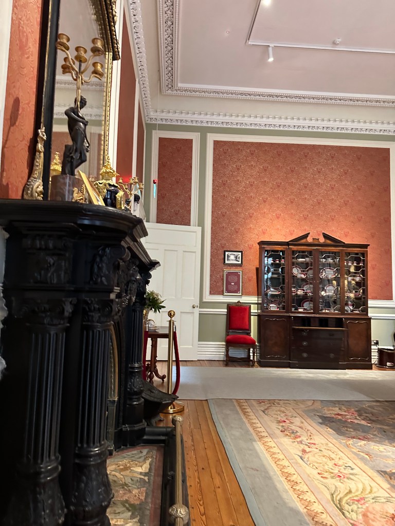
  • Kylemore Abbey – A stunning castle I was so excited to visit, and only a short 20 minute drive from the B&B.
  • 15Euros/adult to enter the castle.
  • We could have spent a lot more time here, exploring the gardens and surrounding area but it was down-pouring so we were only at this location, inside and out for around an hour.
  • Drive from Aasleagh to Creggenbaun – instead of the route google wants you to take when you type in Donegal. It adds on a little bit of time but you get to experience:
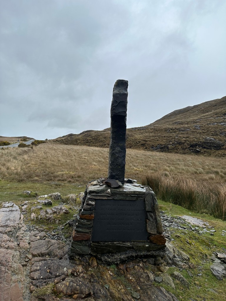
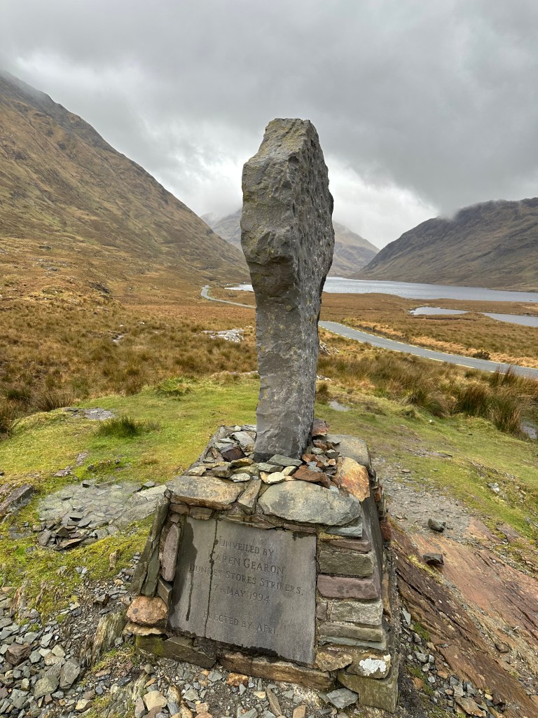
    • Doolough Valley. A lot of history here and a beautiful drive through the mountains.
    • ‘The Doolough Tragedy is an event that took place during the Great Irish Famine in south west County Mayo. Around 600 in total including women and children – were starving as a result of the potato famine in Louisburgh alone’.
  • We then continued our drive up towards Sligo, where we had lunch.
  • This is supposed to be an absolutely stunning place. I recommend spending a night here, in between Donegal and Ballycastle. The skys were filled with rain clouds, so we didn’t get all the beautiful views of the green mountains around us. Benbulben is supposedly a majestic mountain that overlooks the beautiful North Sligo countryside known as Yeats Country.
  • Mullaghmore – a beautiful drive, just off the main highway, heading up to Donegal. So green!
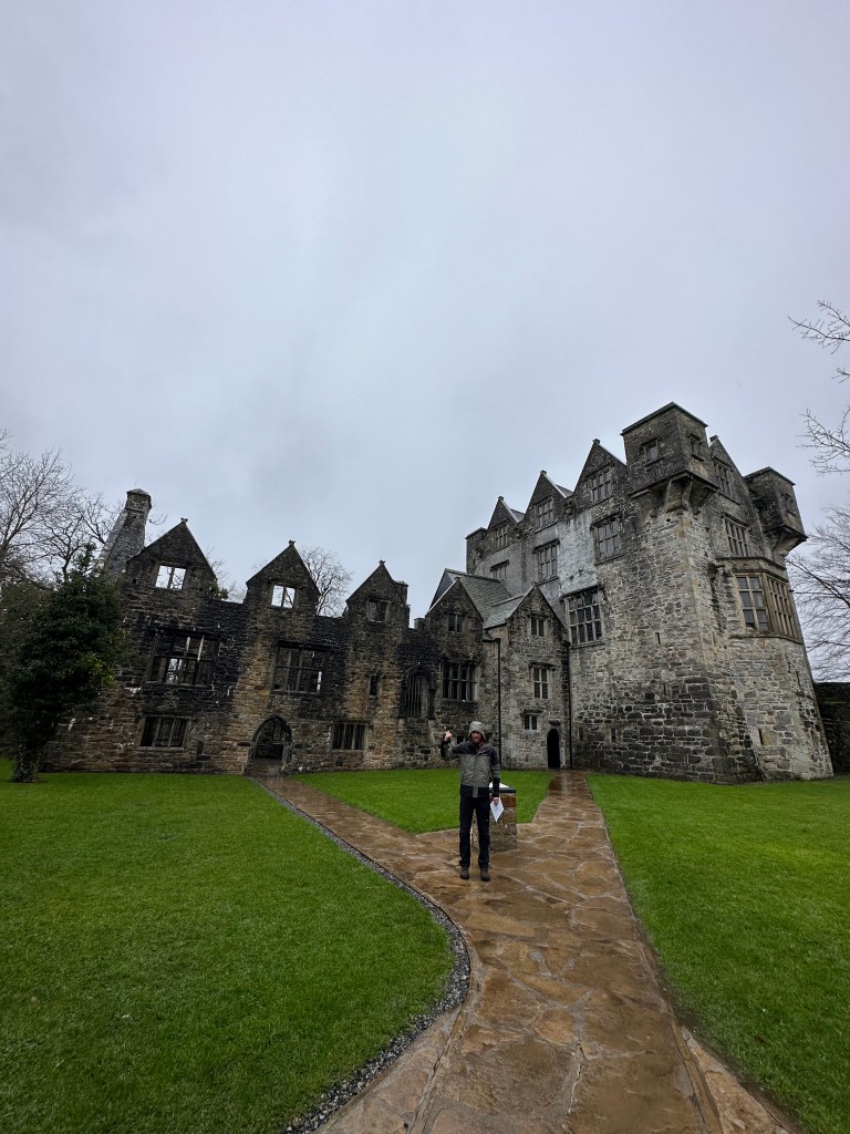
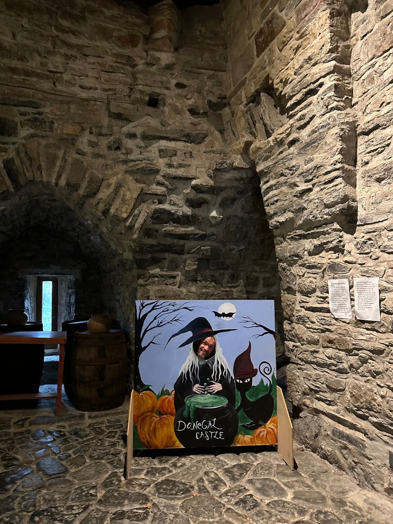
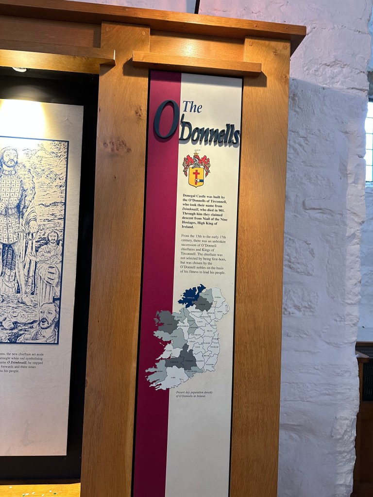
  • Donegal Castle – we stopped in Donegal to grab groceries, as we planned to cook at our cottage, and also to check out the Donegal Castle. It was onlt 4Euros/adult for entry.
  • We then drove another half hour from Donegal to the Windmill Cottage, where I did a load of laundry. The laundry machine was a nice perk!
  • We had to buy drinks to enjoy too, to end Craigs birthday off.

April 12th – Wednesday, Day 5 – 154kms – Donegal to Ballycastle

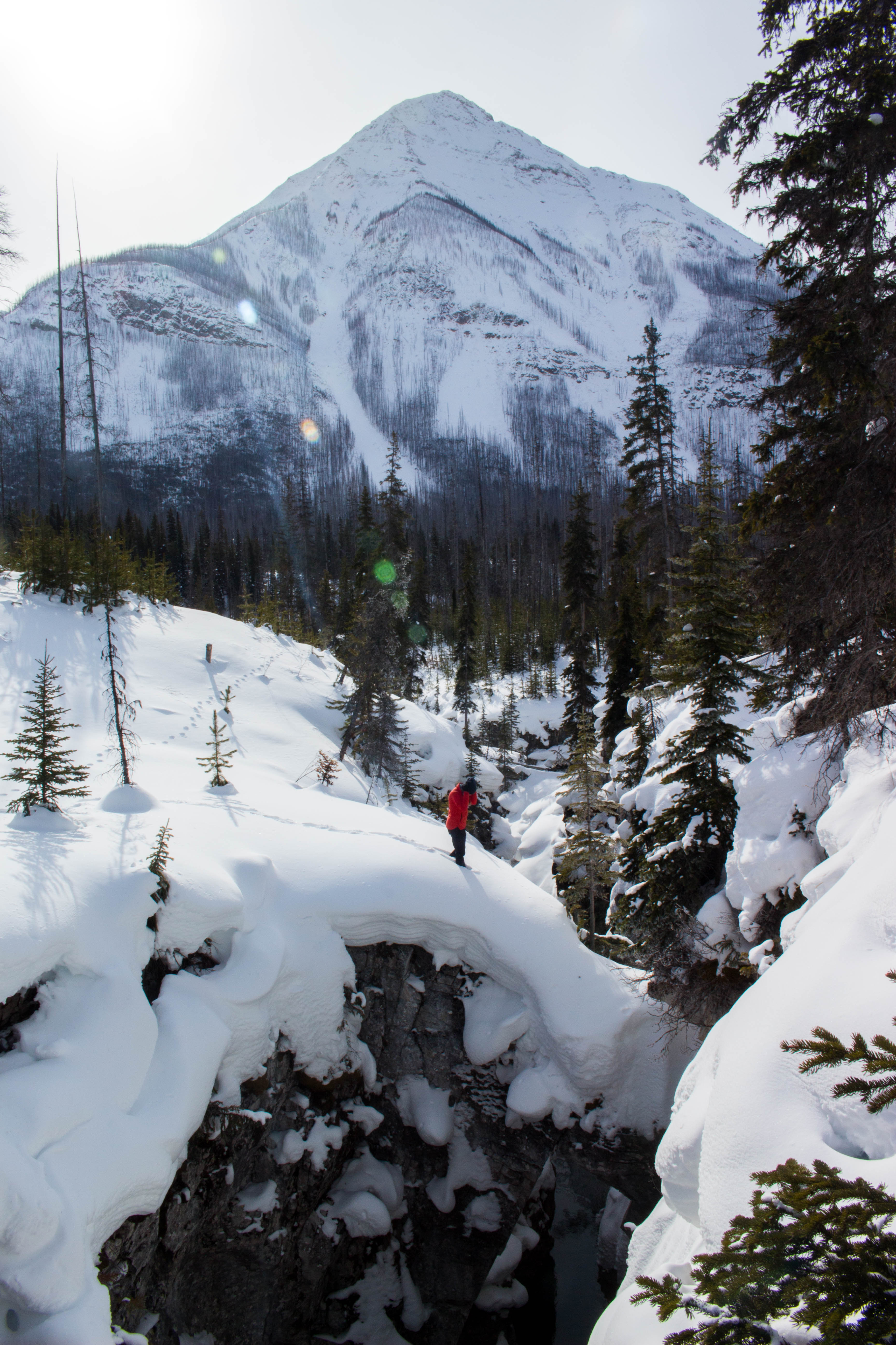
  • Reason why I suggest a couple days in Donegal is so you are able to take in Slieve League Cliffs and explore further West for one full day, and then come back to your cottage/stay in the evening again before heading North.
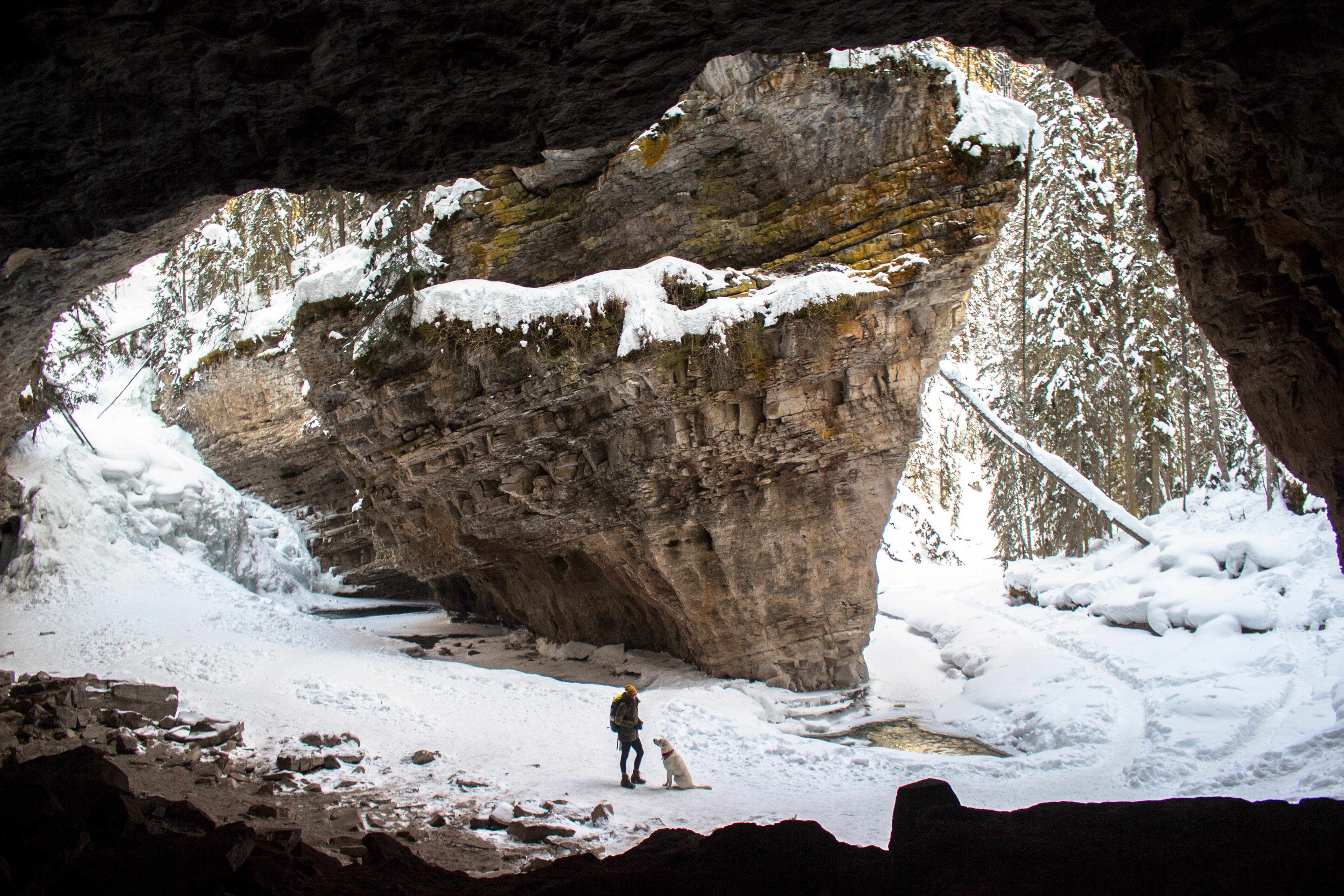
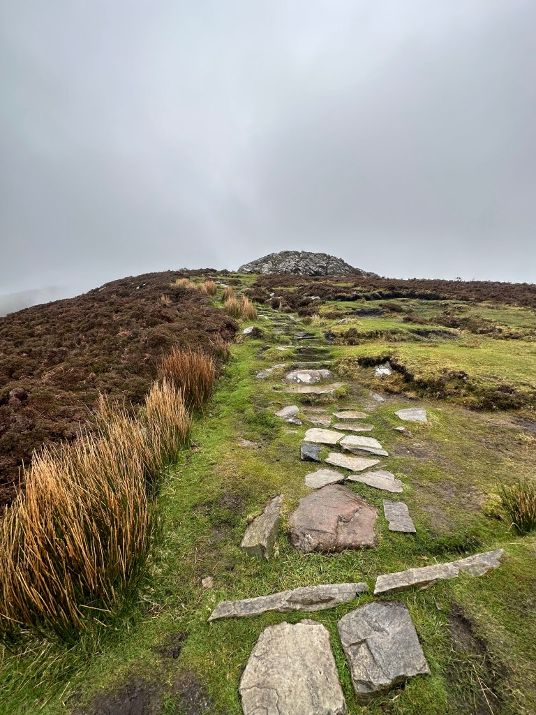
  • We woke up early and headed to Slieve League, for a morning hike, though unfortunately got rained out shortly after arriving, so we only made it a short way up. You can read more about Slieve League by clicking the link here: More information.
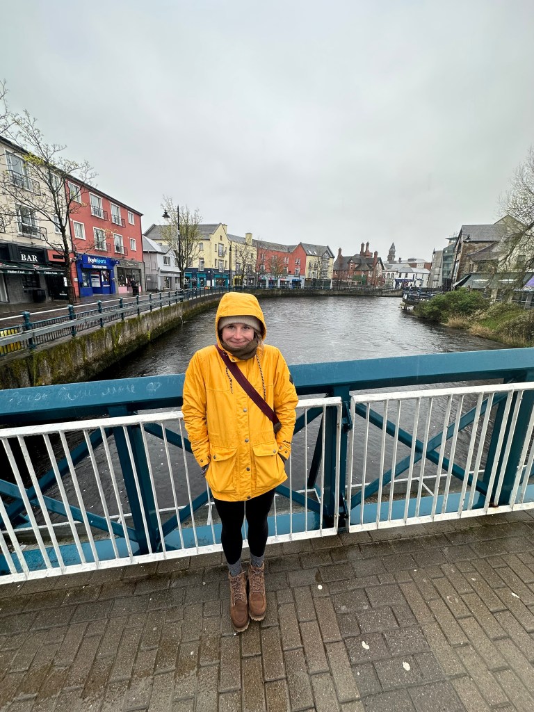
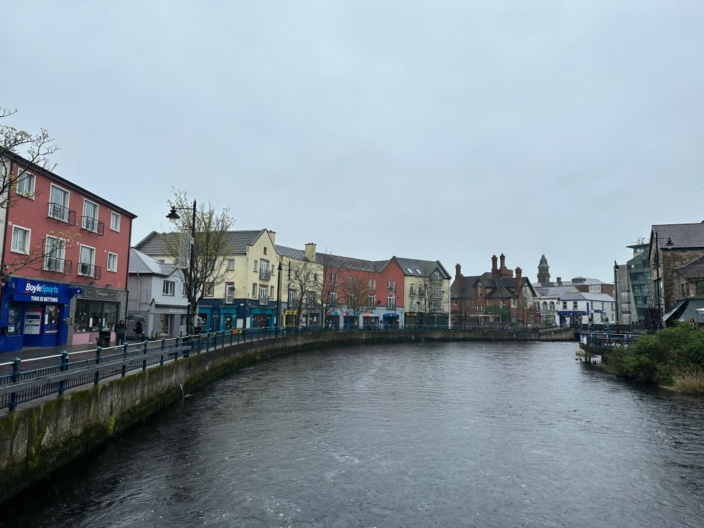
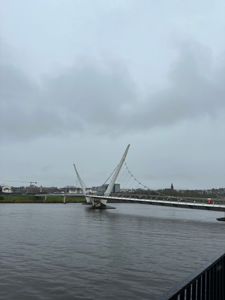
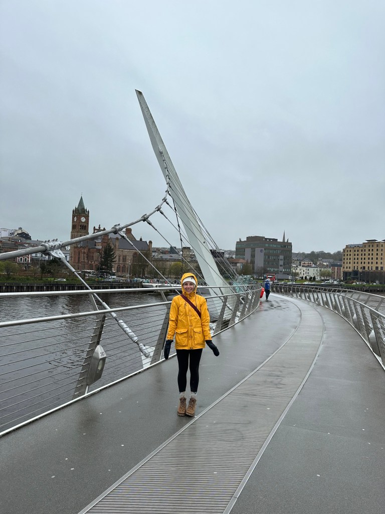
  • Drive to Londonderry – Crossing into Northern Ireland. Currency changed from Euros to Pounds.
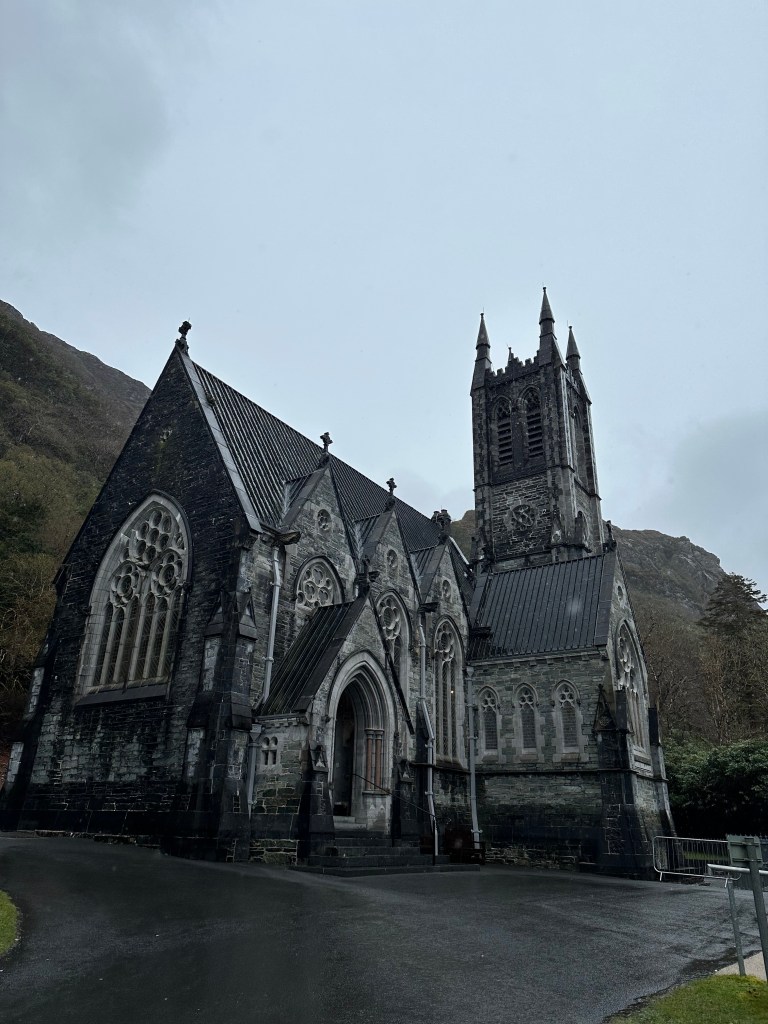
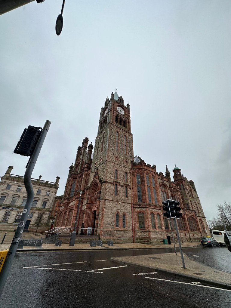
    • Here we had lunch, walked around a bit and visited a cathedral downtown Londonderry.
      • Saint Columb’s Cathedral, was the first Cathedral built after the Reformation. It is the city’s most historic building containing displays of artefacts from the Siege.
      • We were told that Biden was visiting in the afternoon, to the church for the 25th anniversary of the commemoration of Bloody Sunday.
      • We then walked across the Peace Bridge and had lunch at The Embankment Bar & Grill.
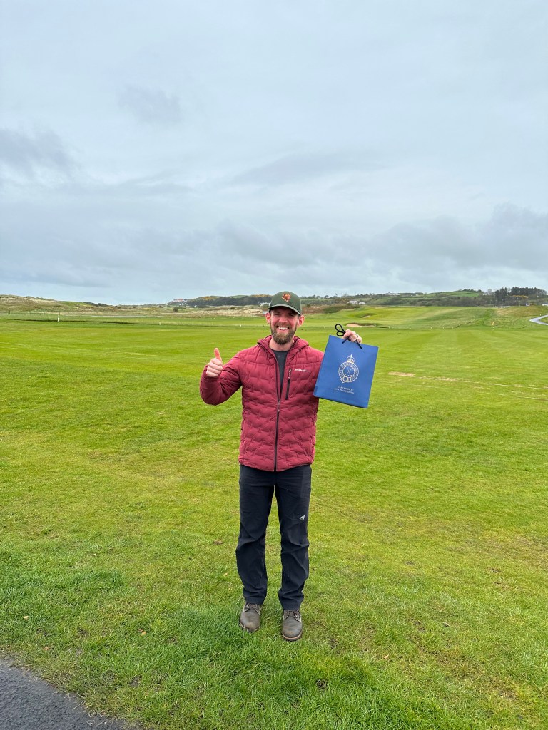
  • Portrush Golf Course – Craig wanted to stop here to check out the Golf Course/shop. He picked up a couple souvenirs! If you are big into golf, Ireland is a great country to visit. So many beautiful courses.
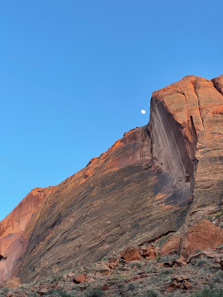
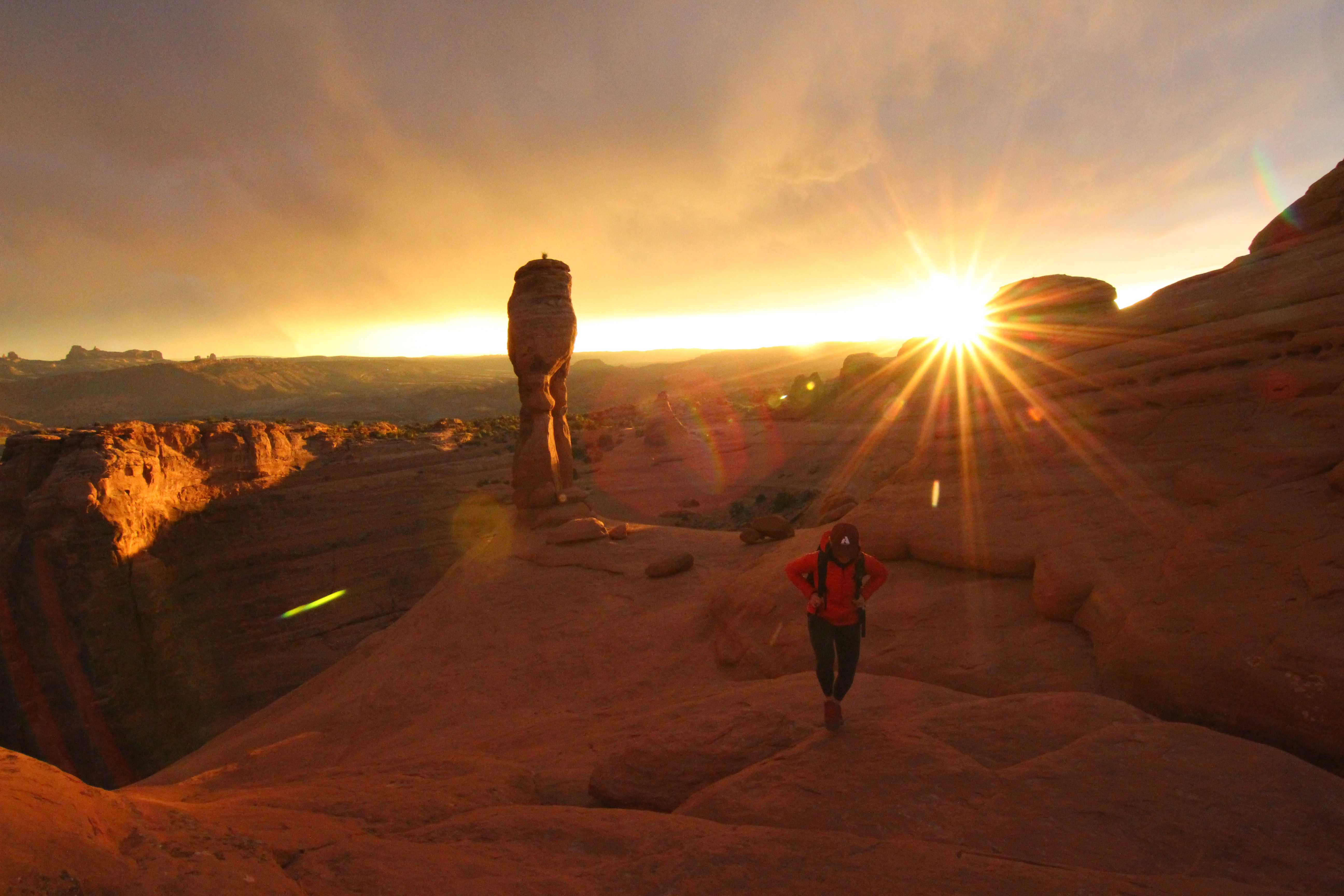
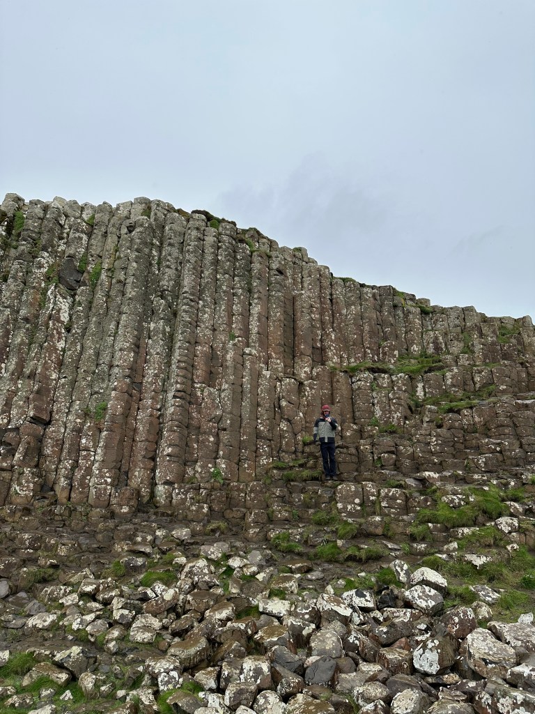
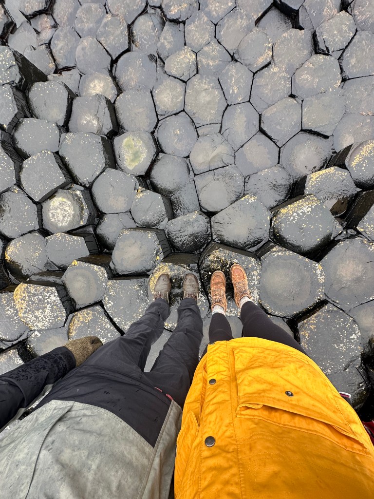
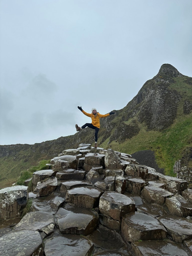
  • Giants Causeway – One of the main reasons we wanted to come to Northern Ireland. We weren’t sure whether we were going to check out Giants Causeway on day 5 in the evening, or day 6 in the morning before leaving, though the weather was looking okay so we decided to go for it.
    • It was beautiful! You can park up top in the car park, and then you walk the 20 minutes down to the location. ‘The Giant’s Causeway (Irish: Clochán an Aifir) is an area of about 40,000 interlocking basalt columns, the result of an ancient volcanic fissure eruption’.
    • ‘Legend has it that an Irish giant named Finn McCool created a causeway to get across the Irish Sea to face his rival, the Scottish giant Benandonner. Following their fearsome meeting, Benandonner ripped up the causeway as he fled back to Scotland, leaving what you see here today’.
  • Dunluce Castle – On our way back from Giants Causeway we made a quick stop here just to check it out from the outside, from a far, but you can tour inside the castle, for 6Pounds/adult.
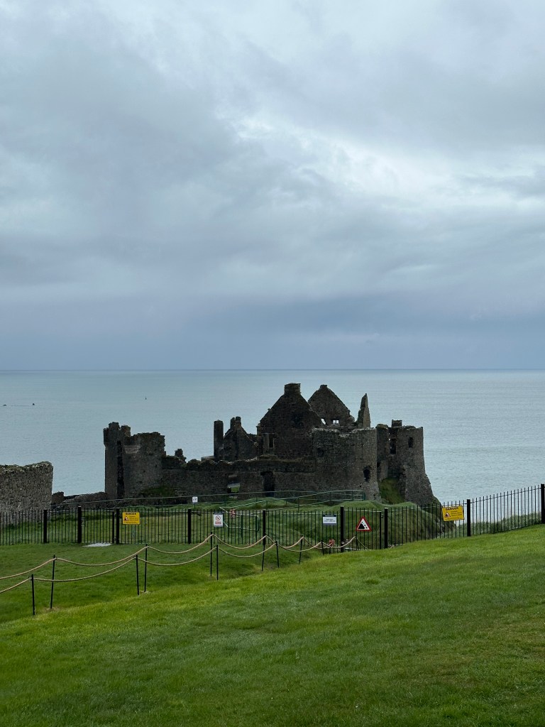
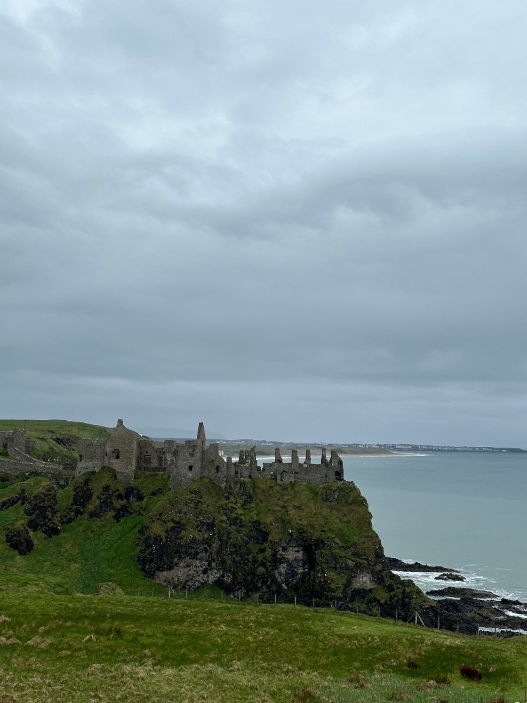
  • Dunseverick Castle – Another stop you can make just a couple minutes away from this one. We ran out of time to stop there, but it’s another one if you have more time in the area.
  • We then made our way to check into our B&B in Ballycastle, Churchview Bed & Breakfast.
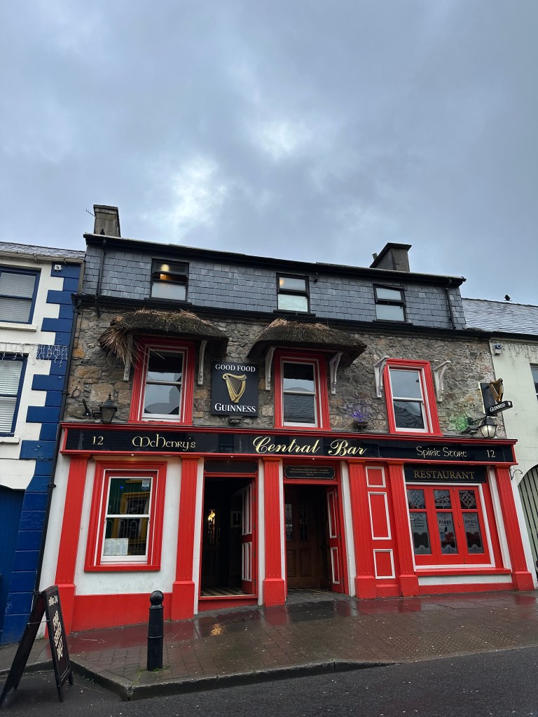
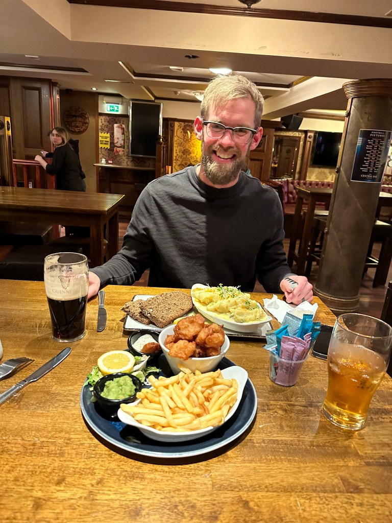
  • From there we walked downtown to a restaurant for dinner. The Central Bar.
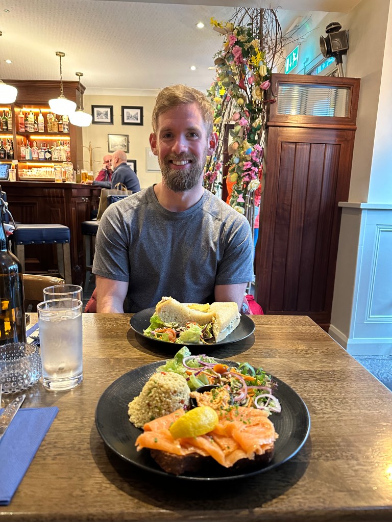
  • We found eating out to be quite expensive in Northern Ireland, due to the exchange rate, and the portions to be very large. I suggest ordering one meal and sharing it, depending on the restaurant. Or a main meal, and then an appetizer to share.

April 13th – Thursday, Day 6 – 140kms – Ballycastle to South of Belfast (Newcastle)

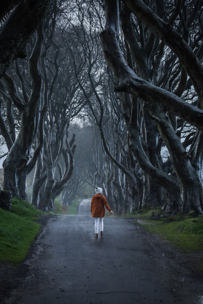
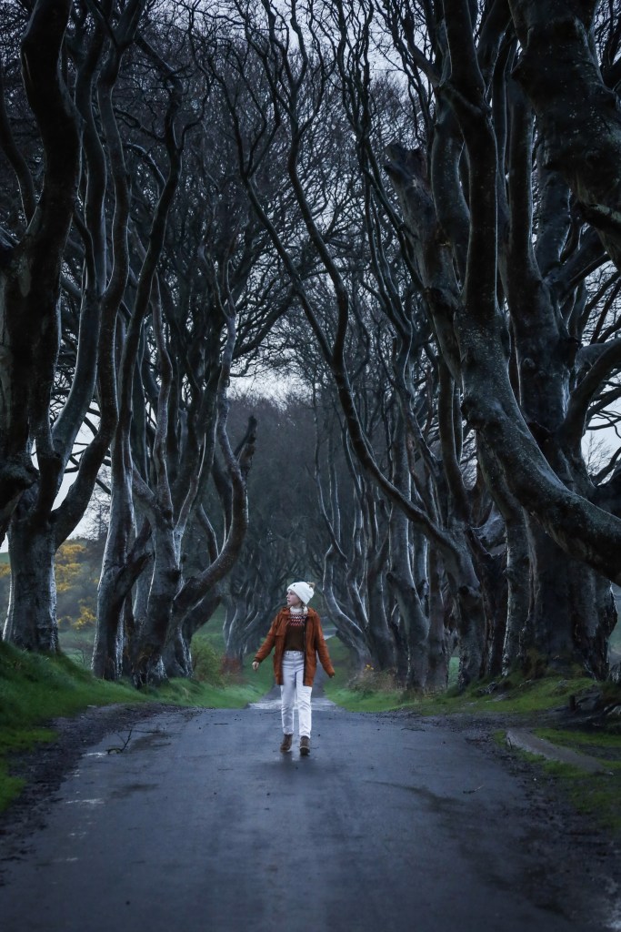
  • The Dark Hedges – ‘The Dark Hedges is an avenue of Beech trees, in County Antrim, Northern Ireland. The trees form an atmospheric tunnel that has been used as a location in the TV series ‘Game of Thrones’, which has resulted in the location becoming a popular tourist attraction’.
    • I suggest going early. We went at sunrise and there was only maybe 15 people there, though during mid day theres said to be hundreds that swarm the avenue.
  • We headed back to the B&B for a 8am breakfast, she had us choose between a hot breakfast of eggs, or pancackes or a cold breakfast. After we ate we packed up and headed to our next stop for the day.
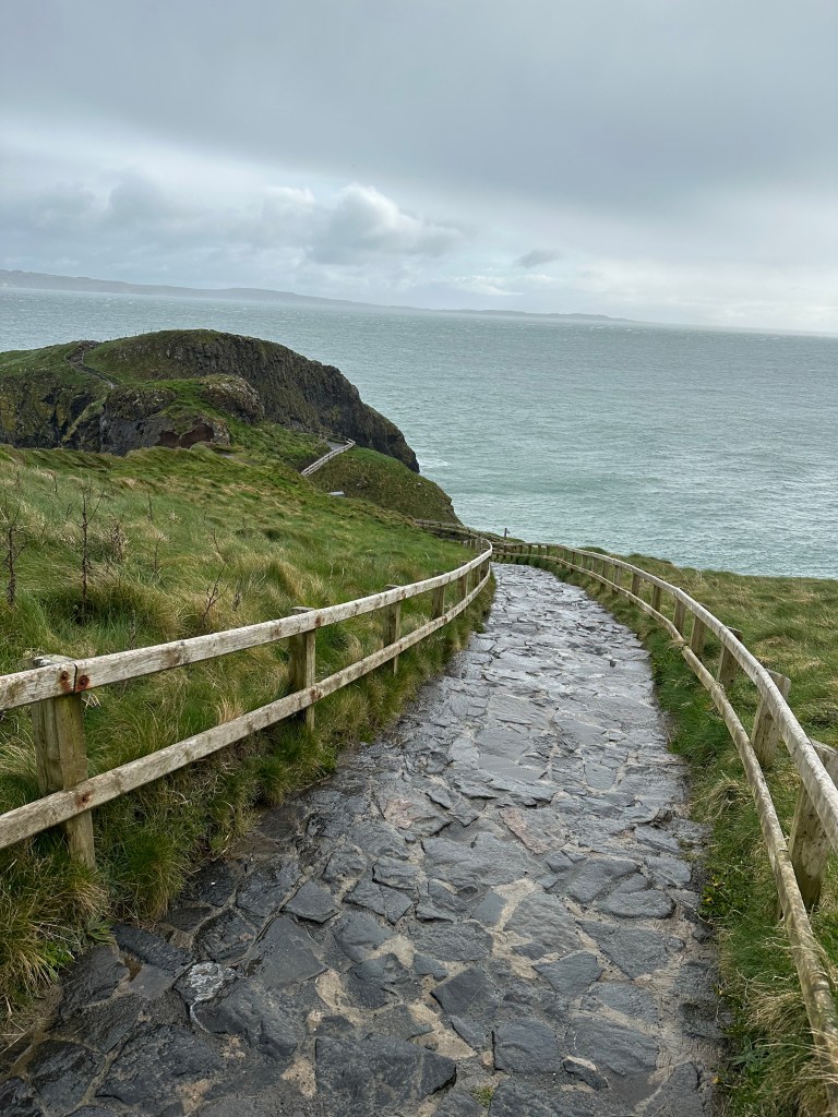
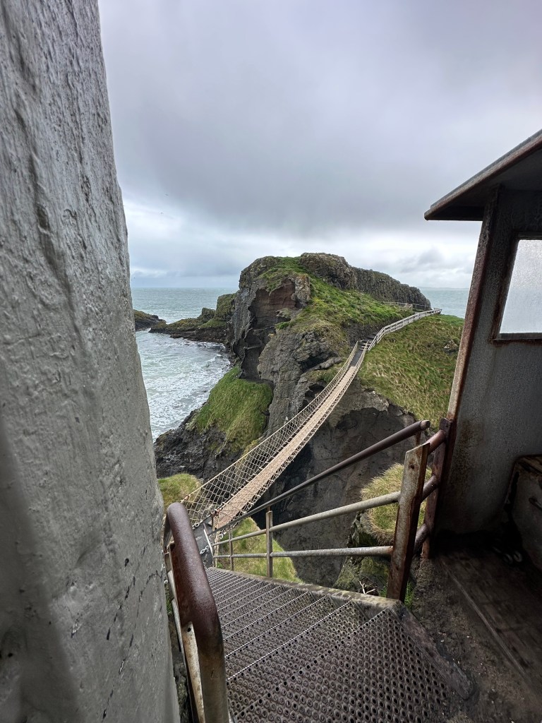
  • Carrick-a-Rede-Rope Bridge – A ten minute drive from our B&B. Unfortunately when we got there the staff let us know the bridge was closed to crossing due to the high winds. We arrived at 930am, and they said it MAY or may not be open again at 12 or 1pm, but they couldn’t promise such. Even though we couldn’t cross the bridge we made the walk down to see it. Still beautiful!
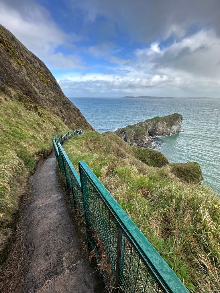
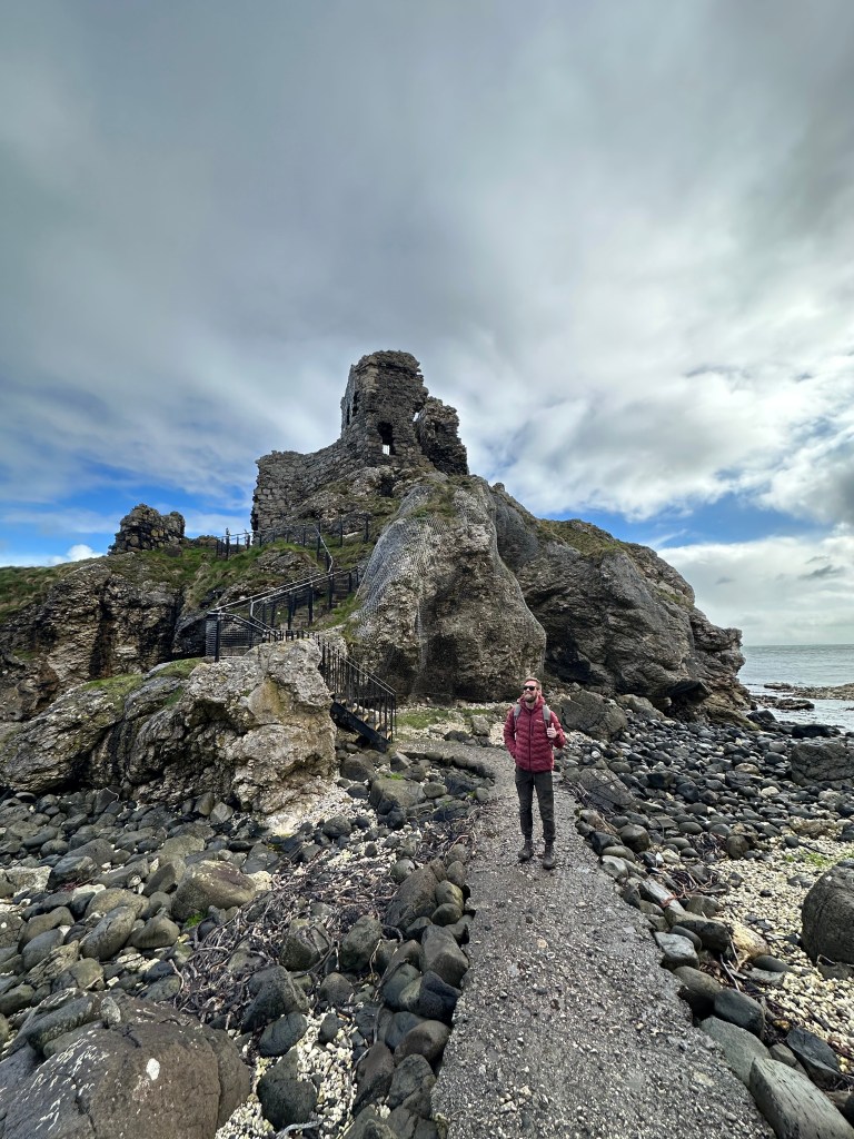
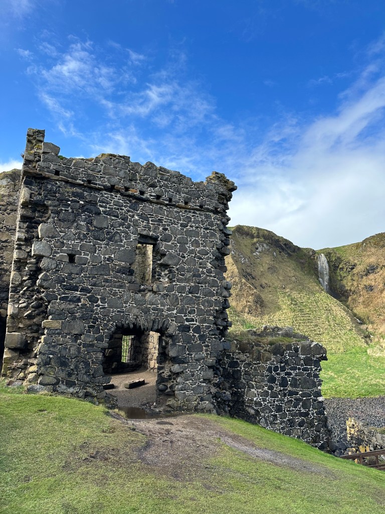
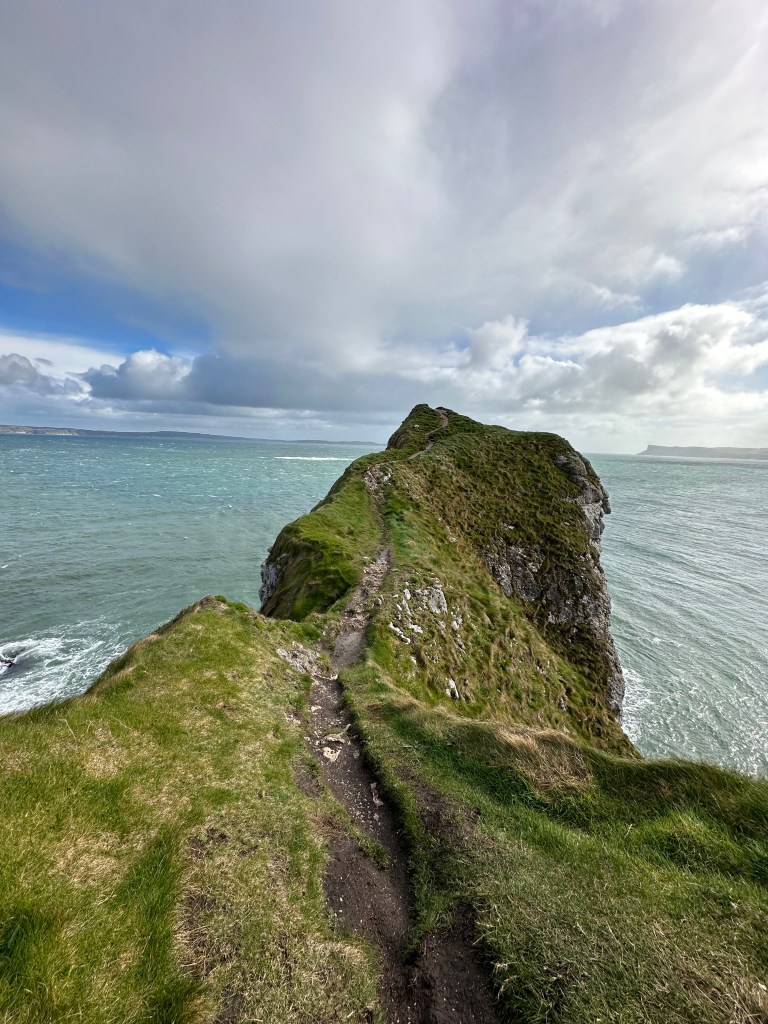
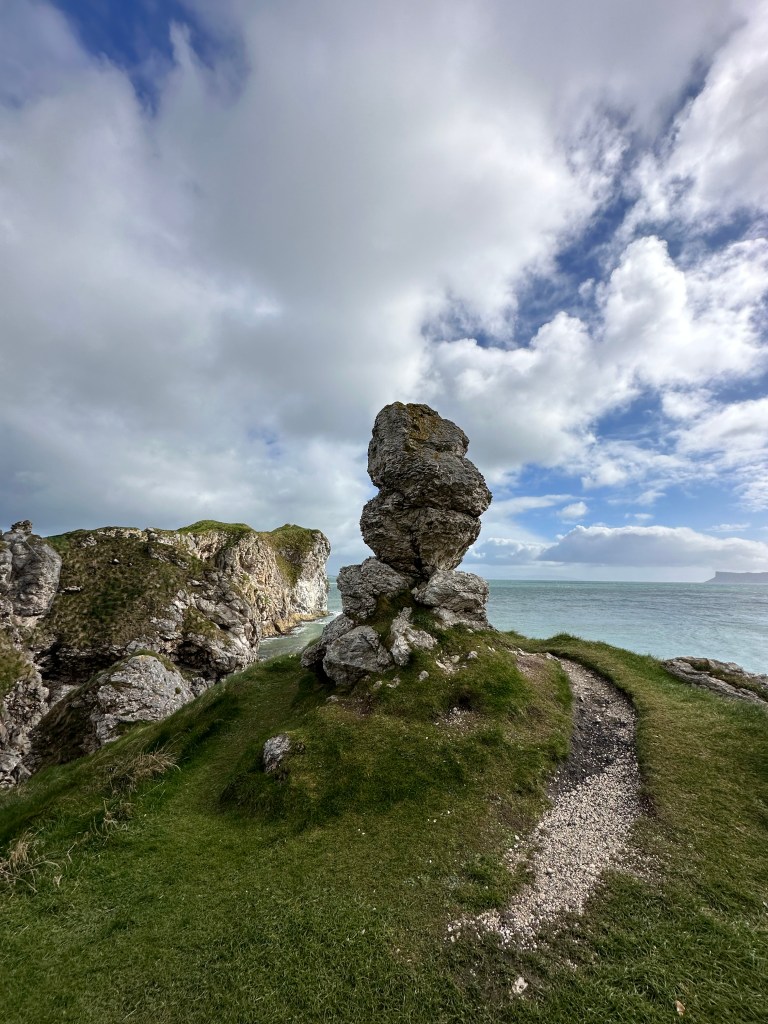
  • Kinsbane Castle – After we headed back down the road to another stop. This may have to be my favourite spot during our week trip. We had the entire place to ourselves. It was a longer walk down to the location, but worth it (140 steps). From greenery, to ocean views, waterfalls, to the castle itself it was quite the sight. No admission fee.
  • Belfast – From there we drove the 1 hour down to Belfast, and went right to the Titanic Museum.
    • ‘Located beside the Titanic Slipways, the Harland & Wolff Drawing Offices and Hamilton Graving Dock – the very place where Titanic was designed, built and launched, Titanic Belfast tells the story of Titanic from her conception, through her construction and launch, to her maiden voyage and subsequent place in history’.
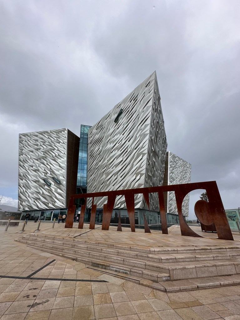
  • We only walked around it, and then inside to the shop, deciding not to spend the 25Pounds/adult to walk through the museum, as the conversion = $100CDN for the both of us. Instead we decided to continue right to our cottage, a 35 minute drive South of Belfast.
  • Checked into Lizzie’s Cottage – Got settled and an hour later headed to explore the area close by.
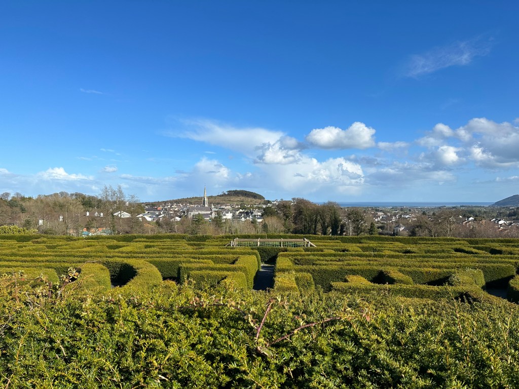
  • Castlewellan Forest Park Peace Maze – ‘One of the world’s largest permanent hedge mazes representing the path to a peaceful future for Northern Ireland. Planted in 2000 with community involvement, visitors can attempt to solve their way to the peace bell in the centre of the maze’.
    • This was very cool to see, and no admission fee.
    • After we just spent some time walking around a different area of the park. There area a few beautiful trails here, including a nice 4km walk around the lake.
  • After we headed back and spent time relaxing in the hot tub.
  • I would suggest two days in this area, and taking one of them to explore the Mourne Mountains close by. I would have loved to have more time to explore these trails.

April 14th – Friday, Day 7 – 160kms – Newcastle to Ballycastle

  • I woke up earlier and went for a run in the countryside, and back to the cottage for a bite to eat, and coffee.
  • We then packed up and hoped in the car making the drive to Dublin.
    • We took a more scenic route, that added on 15 minutes of driving, through the countryside/Mourne Mountains, instead of driving the whole 2 hours on a main highway.
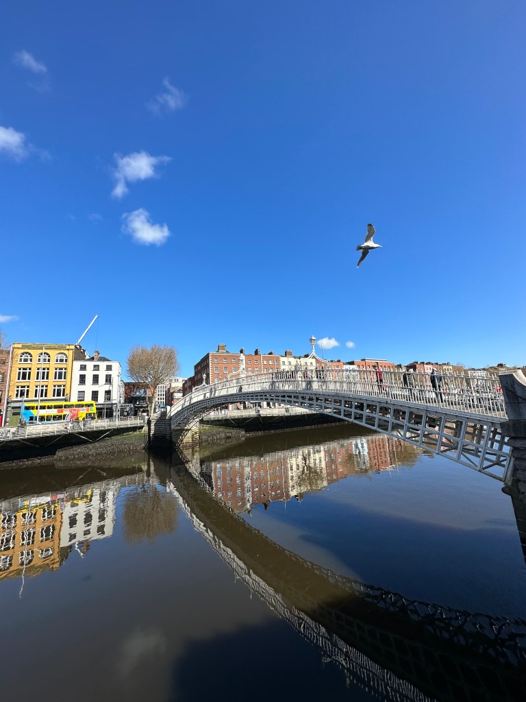
  • Dublin – We arent HUGE city folks so we didn’t mind only having a day to explore the city.
    • We parked at a car park just a couple minutes walk from the Arlington Hotel, and then brought our bags and stored them at the hotel, until we were able to check in later in the afternoon.
    • Lunch – We grabbed a quick bite and coffee at a cafe close to Temple Bar. There are many Cafes/lunch spots to choose from.
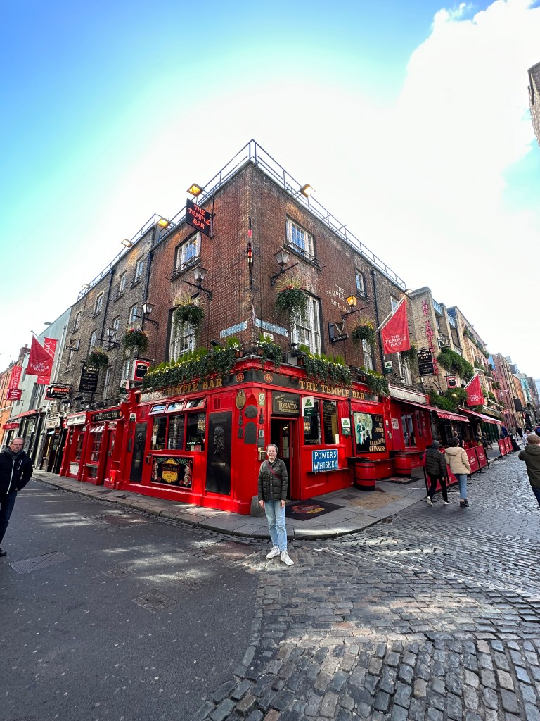
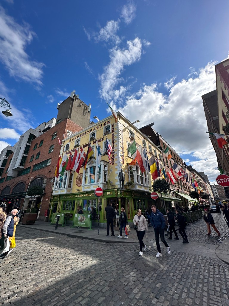
    • Temple Bar – A 5 minute walk from our hotel
  • Trinity’s Old Library – We walked here next and once we got there, there was a sign that said ‘SOLD OUT FOR TODAY’, so we were unable to go in. I highly suggest booking a time slot online prior to going. We didn’t know this was going to be an issue.
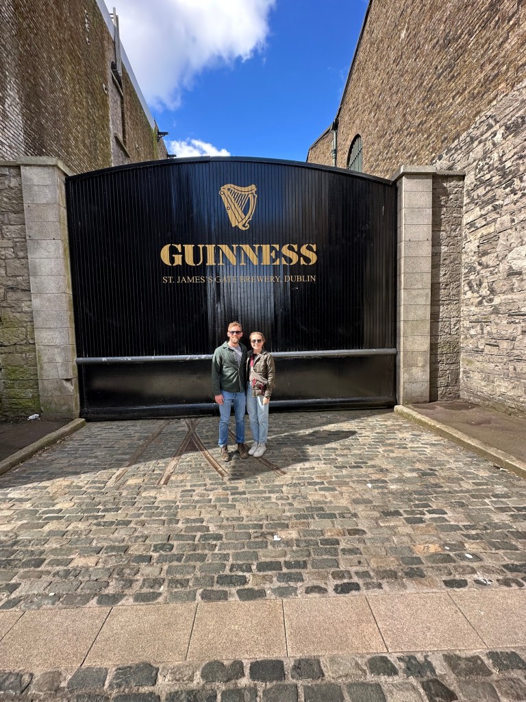
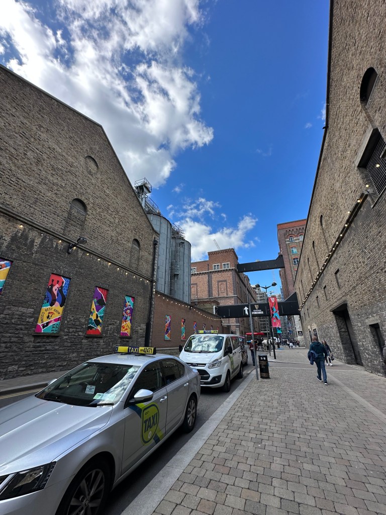
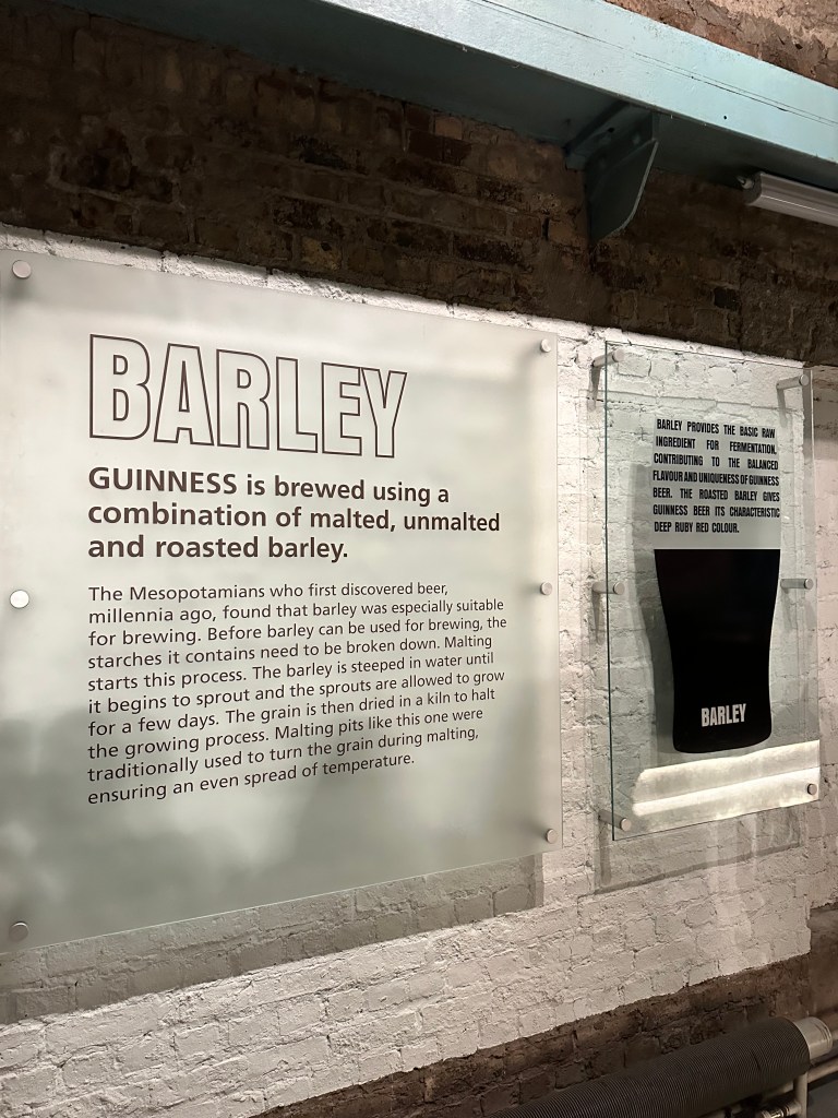
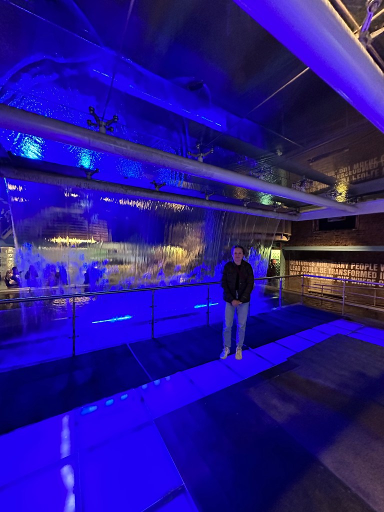
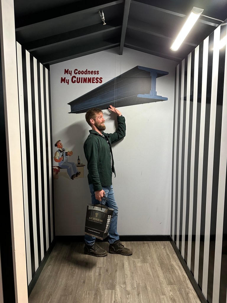
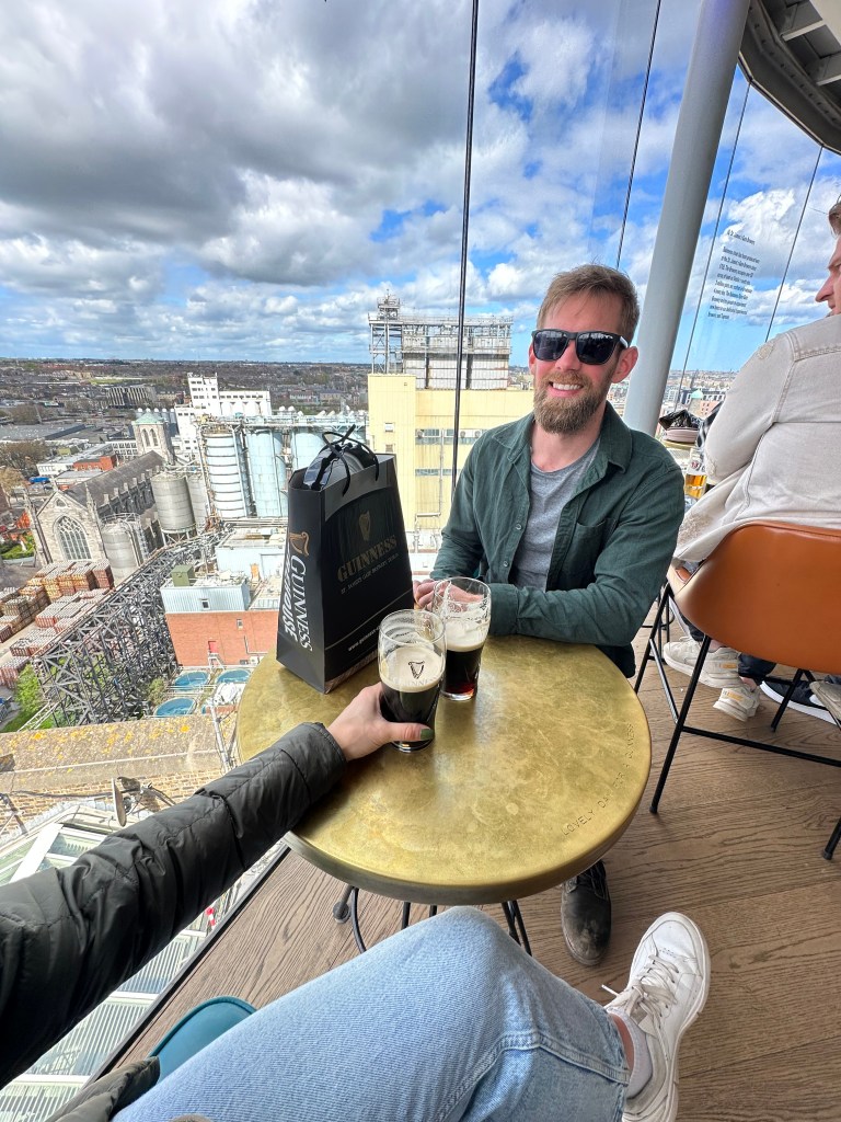
  • Guiness Storehouse – Admission was 30Euros/adult. Also suggest booking in advance, we were lucky to be able to grab two slots at 1pm.
    • We walked the 2.2kms to the Storehouse, from Trinity College.
    • This took about 1.5 hours.
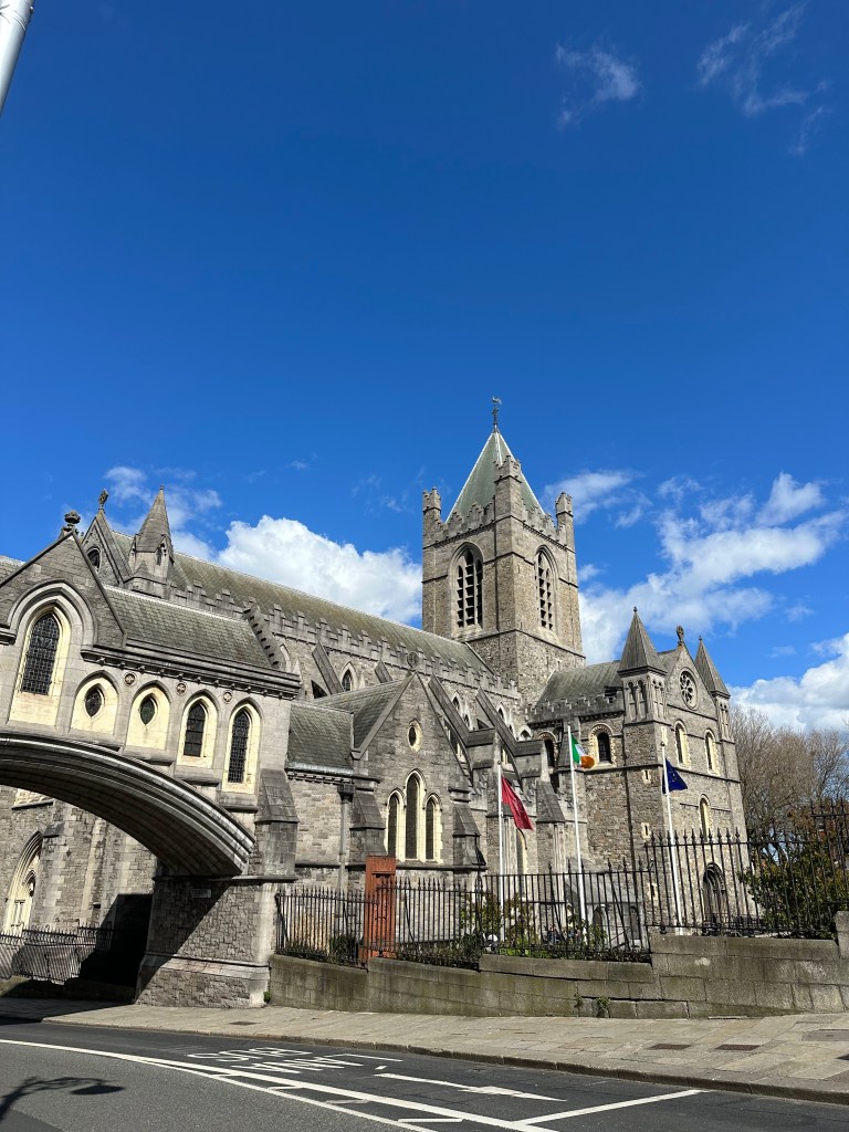
  • We then made the walk back towards downtown and headed to see Dublin Castle, and St.Patricks Cathedral
  • We put on 28,000 steps this day, as everything is within walking distance.
  • If you don’t want to walk as much, there are other options such as the public bus, and carriage rides available, for a price.
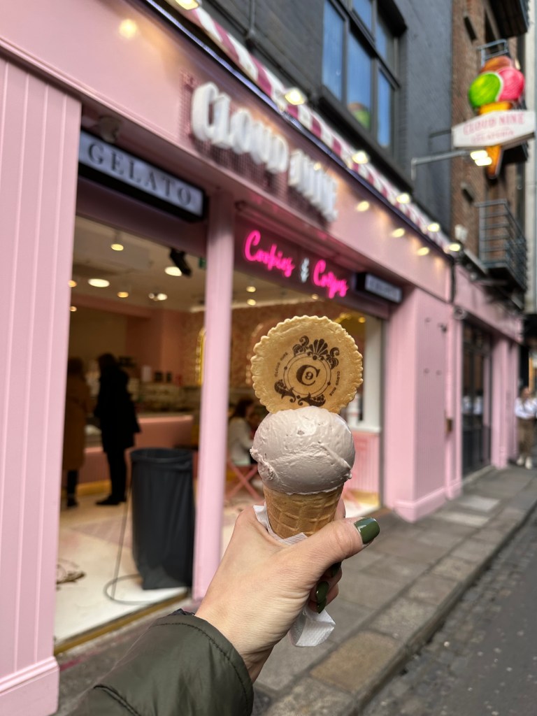
  • Cloud nine – Got ice cream here.
  • Quays Restaurant – We went here for dinner.
  • SO many places had live music, so if you’re into that there is no shortage of pubs to choose from.
  • We made our way back to our hotel around 8pm, for an earlier bedtime as we knew we were going to have a longer travel day next.

There is a lot more to do in Dublin, such as museums, parks, stores, old pubs, etc.

April 15th – Saturday, Day 8 – Dublin to Calgary

  • We woke up at 630am, and got ourselves packed up.
  • Headed to the parking area, which opened at 730am, hoped in our car and headed to Easirent, which was a 20 minute drive from downtown Dublin, to the place where we had to drop off our rental car.
  • Took a shuttle to the airport, which was provided by Easirent.

We drove 1800kms around Ireland, in 8 days. Doable, but I highly suggest 10-14 days to really take it all in (2 weeks would be ideal, if you’re doing Ireland and Northern Ireland).

  • 7 hour flight to Toronto
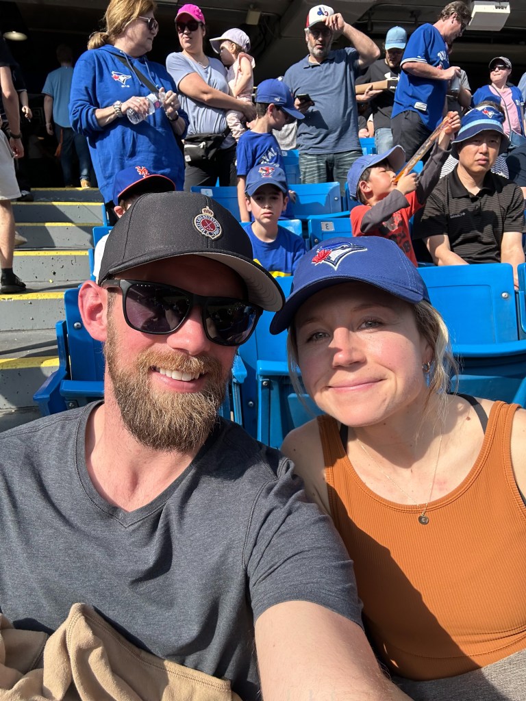
    • We had a 9 hour layover in Toronto (12pm-9pm) so opted to store our bags for $20/CDN a bag and head to watch a Toronto Blue Jays game which started at 3pm.
    • The train was easy to take from the airport to the Rogers Centre. It was a 20 minute train ride to the last stop (which was our stop).
    • A perfect way to spend a layover.

Total Cost of our 8 days in Ireland:

Flights: $1900CDN round trip/2 adults

Rental Car: $770CDN

Gas: $270CDN

Accommodations: $1286CDN

Dining/food: $600

Admission/activities/parking: $369CDN

Approximate total cost: $5196CDN/2 adults or $2598CDN/adult for 8 days.

This trip could have been done cheaper by reducing the amount of money spent on food/dining. Instead of going out for meals, you could easily purchase all your food from grocery stores, and then cook at your accommodations, or eat at a park if it’s nice out. We just wanted to be able to experience the local food too. We didn’t realize so many places would have admission costs. There are A LOT of free castles you can tour, you don’t have to go into all of them, paying the fee. Unless you’re really into the history of them and it’s important to your experience. Also we drove A LOT, so gas cost could be decreased.

There are. a lot of free parks to explore, and cute towns to walk around in. We also splurged on a couple of our accommodations (Lizzies Cottage and the hotel in Dublin).


Thanks SO much for taking the time to read the above blog post. We had such a great time exploring Ireland.

If you have any questions about anything written, feel free to leave a comment, DM me on instagram @brookewillson, or email me at b7.willson@gmail.com.

Happy traveling!

Coyote Gulch, Utah.

May 9-15th, 2022.

The whole crew, left to right, top to bottom: Dessee, Maude, Sarah, Alyssa, Brooke, Kelsey, Liana, Katie, Alexis, Jessie, Jill.

Utah has always been one of my favourite states in the US. Growing up and spending most of my days in the rocky mountains, makes Utah’s landscape extra special to me. My first time visiting was back in February 2017, with my friend Andy. We drove around both Arizona and Utah in his van for 7 days and after leaving Utah, I already couldn’t wait to come back. The red rock, canyons, waterfalls, trails, the way the sun rises and sets, it’s just a gorgeous place to be and to explore.

Bryce Canyon National Park, Utah

My second time visiting was in 2019 with my husband (boyfriend at the time). We decided to take a 10 day road trip down to Utah, starting in Alberta, right after we graduated from our education degree. Having been before I was familiar with some of the National Parks and felt confident going back again having a better handle on what I was doing there, and this time able to show Craig some of the places I went, along with experiencing many new trails together too.

Zion National Park, Utah

Both times I visited Utah, I never drove South enough towards St.George and the area where Coyote Gulch is, and told myself one day soon I would 100% be back to through hike it. When Trova Trip offered me the opportunity to host a 5 day women’s only backpacking trip, I was all over it, and launched it pretty quickly after, to take place in May of 2021. I launched it at the beginning of COVID, not knowing how long the pandemic would hinder travel plans for so unfortunately as May crept up we had to move it to May of 2022, and as much as postponement hurt, it ended up happening and it was well worth the wait.


The group size max’d out at 9, and then there was myself and 2 guides, Sam and Jessie, who are husband and wife. They had the lovely opportunity of guiding our group and work for a company called ‘Wildland Trekking’, and more often guide separately, but happened to be placed together to lead ours. They were absolutely amazing, from their organization, knowledge, experience, and humour to their cooking abilities, we were well taking care of. We did not have to worry about anything and very confident on the trail.

The entire group at the trailhead start of trip.


When I launched this trip I really did want to make it so women who have never backpacked before, or perhaps only a little bit prior, would feel comfortable joining. Whether you were an avid backpacker or a beginner, you were welcome to join and prepped well in advance to succeed on the trail! The trekking company really does provide almost everything you need, other then the clothes you plan to wear, your own toiletries, water bottles, and you do have to bring a sleeping bag or camp pillow if you so choose to (I used my puffy jacket rolled in a ball every night but that’s just me).

Here is a packing list of what I brought, followed by a list of things the trekking company provided us:

The trekking company will suggest what to pack, though this is what I packed:

  • Sleeping bag (-7C, 20F)
  • 2 tank tops
  • 2 long sleeve – 1 to hike in, 1 to sleep in
  • 1 puffy jacket
  • 1 rain jacket
  • 3 pairs of socks – 2 to hike in and 1 to sleep in/at camp
  • 2 pairs of shorts – Guide Pro, and Departure Amphid Shorts. I brought the amphid shorts incase I planned to swim/go in the waterfalls
  • 2 pairs of leggings – 1 to hike in and 1 to sleep in
  • 4 pairs of underwear
  • 1 buff – for the dust. Was so happy to have this!
  • 1 hat – I would have packed a large brimmed hat if I had to hike it over again, cause of the sun.
  • A pair of sunglasses
  • Sandals – I ended up hiking in my sandals most of the trek and wore them at camp
  • Hiking boots – the guides suggest trail shoes and not ankle high but I brought my ankle ones and they were fine. You are trekking through a lot of water so my sandals I found were better anyways!
  • Toiletries – toothbrush, face wipes.
  • Sunscreen, bug spray (luckily didn’t have to use it)
  • 3 – 1L water bottles

The guides were adamant that I did not need this many clothes haha. They are expert backpackers, ultralight being the way to go and wore the same clothing items the entire trip, but for comfort purposes I packed a bit more and so did most on the trek.

What the trekking company packed/provided:

  • 1 single tent each
  • Sleeping pad
  • Trail snacks – 16 snacks – 4 for everyday
  • Coffee/Tea
  • All the cooking supplies – stoves, bowls, plates, cutlery etc.
  • Water filtration supplies
  • First Aid supplies
  • Backpacks – you can bring your own but they do supply them if you don’t have one
  • Trekking poles
  • Water sock booties (neoprene) – which you can put in your shoes or wear with your sandals so they keep rocks out. Everyone but me wore these. Depends on your comfort level. I was okay without.
  • Emergency communication devices

The trekking company cooked up the most delicious meals, for breakfast, lunch, dinner AND dessert. We were so impressed the entire trip. I will be sharing some details of these meals throughout the blog post.


A bit about the hike itself:

‘This is our most popular hike in Utah and deservedly so. We give you a glimpse of what Glen Canyon was like before being flooded by Lake Powell, and as such this is a true treasure. Highlights include beautifully sculpted stream beds, intimate cascades and waterfalls, deep overhangs and alcoves, and numerous natural bridges and arches. This hike has incredible diversity, as we finish with an exciting ascent out of the canyon and across a stretch of signature Utah slick rock.

Our backpacking trip begins in St. George, Utah where we get an early start and drive to the remote trailhead. From the trailhead we’ll work our way down the Coyote Gulch drainage. For the next four days this dramatic canyon takes us through some of the most beautiful country in the United States. It culminates on Days 3 and 4 with an amazing arch, natural bridge, pictographs, waterfalls, fantastic side canyon exploration, and a memorable ascent out of the canyon. Our guests tend to fall in love with this route but we want to forewarn you, the power of this place awakens strong emotion. People often feel compelled to return again and again throughout their lifetime in search of more “good times!” – Wildland Trekking

Reading this over it’s 100% true! I did fall in love with this place and can’t wait to bring my husband back one day, and children to experience it.


May 9th

We flew into Las Vegas airport (LAS) at different times on May 9th (some arriving the day before and staying in Vegas a night before meeting back at the airport) and together we all shuttled to St. George as a group.

Accommodations before and after the trek were at the Best Western right downtown St.George. This was a perfect location as we were able to walk around a little bit to get a feel for the place, with shops close by.

The hotel provides you with a secure/safe storage room for you to leave your gear in, that you do not wish to bring with you on the trek, seeing as some spent longer in Utah, before and after, and after the hike meeting some people chose not to bring some gear they originally planned to, or brought with them.

We went for a welcome dinner at a local Mexican restaurant, before coming back to the hotel for a pre hike meeting.

During this meeting the guides went over EVERYTHING. You had the opportunity to unpack your backpack/bag and repack it with them present. They went over how the trek would look day to day, the mileage, the group gear and how that was going to work, separating the group gear amongst all of us. They handed out gear we were borrowing etc. Basically a few hours of making sure everyone had all the info and gear they needed for a successful 4 days out on the trail. This was a bit of a late evening, and we knew we had an early morning, so we all went to bed around 11, then up to leave by 630am the next day. They provided us with ‘breakfast to go’ the night before as we were leaving before continental breakfast started (though they gave us coffee, which is essential for me and some others).

Start of the Hike

Day 1:

We left the hotel at 630am, and had a 5 hour drive to the trailhead. 3.5 hours on pavement and 1.5 on gravel, with a few stops to grab water, snacks, use the bathroom etc. We got to the trailhead around 11 and we organized a few things in the parking lot, making sure everyone had everything they needed. Due to us arriving around lunch Jessie and Sam also prepped lunch, and we all had the opportunity to eat before heading out. We had taco bowls! YUM!

Jessie also went over how we were going to use the bathroom on the trek. This is the first time EVER that I have had to pack out my own poop. That’s right, you ain’t leaving that stuff behind in the desert. Each one of us were provided with 4 clean waste bags, one for everyday, that you would use and then pack back out with you. Poop doesn’t decompose out in the desert SO could you imagine if everyone went #2 out there and NEVER packed it out? GROSS. It was a bit intimidating at first, but we all got the hang of it and it ended up not being too bad.

Cleanwaste Bags
  • Mileage: 5 miles
  • Elevation Loss: 300 feet

‘This Utah backpacking trip begins at a remote trailhead at the “headwaters” of Utah’s Coyote Gulch. From the trailhead we hike a short distance before entering an open and dry wash, the upper section of Coyote Gulch. The day’s hike continues downstream and gradually the wash begins to resemble a canyon as short walls of Navajo Sandstone begin to appear on either side of the wash and we come to several pour-offs and short waterfalls. Just as the canyon begins deepening we’ll find ourselves in a beautiful cottonwood grove and our camp for the evening.’ – Wildland Trekking

I started out hiking in pants, a longsleeve, hat and boots, and by lunch I was down to shorts, a tank and my hiking sandals. The guides did recommend we keep a sun longsleeve on, and pants because of the thick brush scraping against your arms and legs but I did not find it that bad and was too hot. It is all about your own comfort. I just made sure to wear a hat, apply sunscreen a few times and stay hydrated. It also felt so good to walk in the water in my sandals. A good pair of hiking Teva sandals would also be a good option, or light weight hiking shoes, not ankle hiking boots that are heavy.

We were never in a rush getting to camp, always stopping if anyone wanted to take photos, and the guides were so great at explaining the area around us and answering any questions we may have had. When we got to camp we set up the tents, and went for a little side hike, getting up above the trees. Camp back, had dinner (burritos), then a few of us all went back up to the view point for sunset before returning back again. Camping by the canyon wall was pretty neat.

Day 2

Canyon walls/Arches

  • Mileage: 6 miles plus optional day hikes
  • Elevation Loss: 200 feet

Breakfast first. Coffee. Always coffee, and a yummy rice pudding breakfast.

‘Continuing our hike downstream through stands of cottonwood and willows, the gulch deepens and narrows and encloses us in a towering corridor of sandstone. The creek is flowing continuously now and there are numerous crossings. As we progress, the day’s changing light plays on the canyon’s walls in a brilliant show of reds, yellows and browns. These imposing walls are the backdrop for features closer at hand: beautifully sculpted streambeds and intimate little cascades and waterfalls.

After a few miles of hiking, in an especially sinuous and narrow part of the gulch, we’ll hike by an amazing backcountry arch. Another half mile hike downstream brings us a natural bridge. We’ll walk directly underneath this unbelievable feature and make camp in the vicinity.’ – Wildland Trekking

This was an amazing day. Endless canyon walls, and arches, the winding trail through the gulch. Again taking our time, and enjoying it to its fullest along the way. We stopped for lunch at the Jacob Hamblin Arch which is an iconic photo spot, this is the place that really attracted me to this trip in the first place. There is a cool little side hike you can scramble up to get a bit higher and you’re then able to look down both sides of the rock face. Again the meal prepared by our guides was delicious, a backcountry charcuterie spread. Can’t ever go wrong with that!

We continued down the gulch, and were originally supposed to stay close to another iconic arch, though a group was already camping there, so we simply took a few photos and continued another km to an empty open space.

The wind was WILD this way, blowing dust, so we were very happy to have our buffs to cover our mouths/nose and the guides did their best to set up the camp spot/kitchen area in a place that wouldn’t be COVERED in dust.

We stayed up until 9pm (yes I know seems early but long days make you tired) chatting and then made our way inside our tents for a restful nights sleep.

Day 3:

Native American Ruins/Waterpark day

  • Mileage: 2.5 miles and 2 miles optional day hiking
  • Elevation Gain: 600 feet
  • Elevation Loss: 600 feet

We woke up, had oatmeal for breakfast and then went on a little side hike before coming back to hike to pack up and head out for the day.

‘We ended up exploring the truly amazing Native American ruins nearby. Bands of Fremont people, a pre-columbian culture that lived contemporaneously with the Anasazi through 1300 AD, once called the Gulch their home. They farmed plots of land and made their dwellings beneath the canyon’s walls. Our second night’s campsite allows us to see a fine pictograph panel at the base of the Navajo Sandstone, a small ruin littered with artifacts, and a Fremont Indian dwelling.’ – Wildland Trekking

‘A casual morning and delicious breakfast will precede more beautiful hiking downstream. Several miles from camp we’ll hike beneath yet another wonderful rock feature, a spectacular arch several hundred feet above the canyon floor. The character of the canyon changes again as we progress, becoming wider with steep vegetated hillsides beginning to appear beneath the canyon’s walls. Larger pour-offs accompany a higher stream volume and sandstone terraces begin to appear above deep overhangs where the stream flows.

Later in the day we’ll use these terraces for easier hiking and ascend 200 above the stream to our dramatic campsite overlooking the confluence of the Escalante River and Coyote Gulch. after traversing a sandstone slab we’ll arrive at the confluence of Coyote Gulch and the Escalante River.

Camping here under a steep cliff wall, and looking directly through Stevens Arch. We’ll make camp here under steep cliff walls and, time permitting, we’ll have the opportunity to attempt to day hike to the confluence of the Escalante River or to a remote and spectacular side canyon. Those so inclined are more than welcome to relax in camp and enjoy the breathtaking views of the stunning Escalante Canyon rather than day hike.’ – Wildland Trekking

We didn’t have time to day hike to the Escalante River, but we enjoyed some time at camp in the later afternoon before going for a little sunset side hike up the sand dunes, for a better look over at Stevens Arch, and it had a great view up above of the campsite. This also gave us a good taste for what the day was going to be like tomorrow. The sand dunes are no joke, especially with a heavy backpack in the morning, and continued elevation gain.

One neat thing about this evening/night was the amount of bats around, don’t let this scare you, they were harmless, and ended up providing us with a lot of laughs. They were circulating around the campsite, swopping low to the ground and we had to dodge them, getting out of their way as they flew close to us.

Day 4:

  • Mileage: 2.5 miles
  • Elevation Gain: 800 feet
  • Shuttle to St. George: 5-hour drive

‘Following breakfast we’ll break camp and begin our ascend up a long sandy slope. It is a strenuous hike in soft sand to the “crack in the wall,” a narrow crevice we’ll use to escape the canyon’s upper-most cliff wall. From the top we’ll have a brilliant view of the Escalante River and the surrounding canyon system.

After the guide hauls everyone’s backpack over the rim with a rope we’ll hike two miles across the desert to our ending trailhead and our vehicle. Refreshing drinks and a comfy suburban signify the end of our Utah backpacking trip and will get us safely back to St. George.

Please Note: participants must be able to fit through an 18 inch “crack in the wall” on the final day of this tour. To test whether you can fit through, we recommend opening up a door to 18 inches, turning sideways and shuffling through the opening. If you’re unable to, we recommend looking at the Boulder Mail Trail as a great alternative Utah backpacking trip.‘ – Wildland Trekking

What a day this was. I really did enjoy the crack in the wall, it certainly added to the trek. We had to work as a team to get everyone through the crack, and then all the bags up. Our guide Sam went up the crack first to check things up, and checked where would be a good spot to drop a rope down, to haul the bags up, and once that was done reported back. We all dropped our bags on the one side of the crack, and continued through it one by one, as 3 stayed back, 2 travellers and Jessie the guide to assist in tying the bags up one by one also. 3 ladies helped Sam at the top stringing the bags up. I hope the photos help to showcase the ‘art’ and thought put into this process. Once all the bags were up successfully, the 3 ladies at the bottom made their way through the crack and up to join the rest of the group. The views were unreal from up here. One way looking down into the canyon, seeing how high we really climbed, and the other was desert all the way back to the parked vehicle.

We hoped into the shuttles and started our journey back to St.George, but first we made a stop for lunch in Escalante.

We had lunch at the Escalante Outfitters Cafe, where our guides placed orders in advance, so it was quicker once we arrived there. The pizza, the salad, the iced coffees, etc. never tasted better. They also had a wide range of delicious sweets/desserts to choose from. It was such a treat!

We got back in the vehicles and then did the rest of our 3.5 hour drive to St.George. You can enjoy a beautiful picture of myself below, after being in the same clothes in the desert for 4 days. WORTH IT!

We stopped at the hotel quickly for a rinse off/dropped our bags and then headed to find a place for dinner. I recommend reserving a dinner place if it’s on a weekend, especially for a larger group.

This evenings farewell dinner was bittersweet, they always are. It’s at the end of the trip when you really start to feel like you have gotten to know people well, and making all those connections, just in time to have to say goodbye. I know it won’t be goodbye forever though, as I do hope to adventure with these ladies again someday, or meeting up in their home towns, or perhaps showing them around the rockies if they come to visit.

May 15th

I woke up early this morning to get out for a run to explore a bit more of St. George. It is such a cool place and I do hope to return again one day soon to explore it even more. There are so many trails, for running, and biking which would be perfect.

When I returned back to the hotel, we all decided to go to a cafe down the street, called Feel love Coffee (pictured below), and wander around a bit downtown before our shuttle was picking us up at 10am. I would recommend staying ONE more day in St. George if possible so you could check out some of the local shops and walk the streets.

If you have any questions at all about the trip don’t hesitate to reach out, via instagram @brookewillson OR email me b7.willson@gmail.com and I will do my best to answer them!

Happy trails.

Keen on Utah

April 27th – May 5th

IMG_2668

On this trip I took with me two pairs of Keen hikers – The Terradora and the Terradora Mid Waterproof Boot.

I had been to Utah a couple years before, though I had never been to the Moab area, so I figured why not make this the year to do that! My boyfriend Craig and I set off for a one week post graduation trip. We didn’t realllyyyyy have a plan but we had some sort of outline for what we wanted to do with the 8 days on the road. Utah can be slightly overwhelming, as there is SO much adventure in the state, whether you are into hiking, mountain biking, kayaking, rock climbing, ‘ATV’ing’ and more. We had just planned to hike, but for those reading who are also into other activities, know that Utah is FULL of possibilities. Or perhaps you just want to go to relax (you can do that too), there are a number of campgrounds, restaurants, ‘pull-up’ attractions and places to just enjoy throughout.

We left Alberta on April 27th, and started on our 14 hour (1,642km) road trip to Spanish Fork, Utah, where Craigs sister lives. We stopped there for a night before making our way to Moab the next day, another 2.5 hours South East. We ended up meeting up with friends who were also planning to camp, they had a site at Williams Bottom Campground, right along the Colorado River. They had brought their climbing gear so we decided to join them for a bit before heading out on an evening hike.

Delicate Arch, Moab – Arches National Park

We left for Delicate Arch at around 530, making our way into Arches National Park, where we picked up our South East National Parks pass, for $55.00 which allows us to get into Arches, along with Canyonland’s and Natural Bridges National Monument, the pass is good for one year. We began hiking at around 630. The trail is approx. 3.1 miles round trip, though 613ft elevation gain. We wanted time to walk around before the sunset, which we wanted to catch at the top! We ended up getting extremely lucky and experienced a rainbow above the arch before sunset. This was the perfect way to begin the trip.

IMG_2494

IMG_2524

IMG_2564.JPG

I had many questions from people wondering which air bnb we stayed at in Moab, though it was Craig’s sisters cottage, just 15 minutes outside town. Having family in the area sure helps with accommodations, and it is nice to have a shower and a comfy bed after a long day of adventuring!


April 29th

Negro Bill Canyon Wilderness Area – Grandstaff Trail & Corona Arch  

We set off for a morning hike on Grandstaff Trail – approx 4.3miles round trip. The trail is rated as moderate. At the end of the hike to come to ‘Morning Glory Natural Bridge’. The trail was perfect for the morning, with only 387ft of elevation gain, and over a longer duration. The hike is perfect for people of all ages. The trail crisscrosses a river, so waterproof shoes would be recommended. Once we reached the Natural Bridge there were being repelling from it, so we were able to have a snack, watch them, and visit with some others before heading back out.

IMG_2662

After that we went and hung out at our friends camp for a bit and relaxed, played cards and hit from some rain. We decided ‘why not head out on another sunset hike’, so at about 6:00pm we set out to hike to Corona and Bowtie Arch, one of the most popular hikes in the area, and for a very good reason. It’s a 2.3 mile out and back hike, with 469m of elevation gain. We were taking a risk with the weather, as it had been raining most of the afternoon and evening forecast was calling for a bit of rain but the clouds cleared and we set out! We got very lucky and ended up having great views of Corona Arch, where it just began to rain on the way out. Corona is a 140ft x 105ft opening.


IMG_2827

Corona Arch

IMG_1584

April 30th 

Devils Garden Loop – Arches National Park & Mesa Arch – Canyonland’s National Park

The next day we decided to head back to Arches National Park to do a trail that came recommended by many, one that has a number of arches you cross along the way, Devils Garden Loop. With 7 arches during the hike, this is one that if you are in the area for a limited number of days or even just one, is a must do! The hike is 7.5 miles long and with 1,069ft of elevation gain, takes a bit longer then others but very much worth it. The trail is rated as difficult. There are some challenging sections in the middle of the loop that require a bit more confidence and skill level – moving up and down the rocks and if slippery it can be that much more challenging. The main trail is well maintained and wide. The first bit takes you to Tunnel Arch and Pine Tree Arch, and then on to Landscape Arch (pictured below).

IMG_2920

Landscape Arch

The trail then leads you to Wall Arch, then have the option to take a spur trail to Navajo Arch or Partition Arch. From here you can retrace the main trail back or continuing from there to Double O’ Arch (pictured below) and Dark Angel.

IMG_3002

Double O’ Arch

Some people choose to do the trail the other direction (counter clockwise) if they are uncomfortable with some more difficult sections and do the other direction as far as they can. We came across some taking this option.

IMG_3032.JPG

IMG_3052.JPG

The same evening we decided to head to Canyonlands National Park for the evening to visit another arch and to watch sunset. We stopped for a view of the canyon (pictured below and then headed to the famous ‘Mesa Arch’, a heavily trafficked trail of 0.6miles and 62 feet of elevation gain. Even though we went in the evening, this spot is most popular at sunrise, due to the sun rising just behind the arch, and because of its accessibility.


IMG_3078.JPG

Canyonlands

IMG_3167.JPG

Mesa Arch

Once done at the Mesa Arch we headed for ‘Island in the Sky’ (pictured below), not very far down the road from Mesa Arch into Canyonlands, where we wanted to take in the sunset, but due to crazy winds/weather we didn’t last too long and ended up driving back to Moab a bit earlier, telling ourselves we would come back next day when enjoying it was a bit easier. If you continue reading you will see photos from here!

May 1

Firey Furnace – Arches National Park / Upheaval Dome – Canyonlands National Park

When we arrived in the Moab area we had went straight to the visitor centre to make sure we got a ‘down-low’ of the main things to do in the area and to get any permits we may have needed.  We were told that the ‘Fiery Furnace’ in Arches National Park is one of those musts, and it’s weather dependent. We knew we were in the area for a few days so looked ahead at the schedule and booked it for 9:00am on May 1st. This was SUCH a unique experience – it’s like an adults playground. You could spend HOURS exploring throughout the fiery furnace. At the visitor centre they will have you sit down and watch a video of the area before you can go in, talking about rules and regulations in the furnace (what to watch for, where you can and can not go), about the vegetation etc in the area. You can sign up for a guided tour OR explore on your own, we decided to explore on our own.

IMG_3246.JPG

Fiery Furnace

IMG_3414.JPG

IMG_3385.JPG

We headed for lunch before going back to Canyonlands National park. We wanted to hike around Upheaval Dome, so we headed there first. We started via the Crater View trailhead. It’s a 1.5 mile out and back trail, with 301ft of elevation gain (to the main viewpoint), though we decided to continue a lot further down the trail and take in more views. After hiking for a couple hours round trip, we had decided the best views were at that first viewpoint. If you are short on time or don’t want to hike far the first view point should be your end point, though me being me, I usually like to make it longer, getting steps in, and since we had so much time. The first view point gives you spectacular views of a geological formation – a mile wide crater of mysterious origins, perhaps formed by a meteorite. Worth the visit! Craig found this place to be one of his favourites from our whole Utah trip!

IMG_3449.JPG

Upheaval Dome

After this hike we headed back to ‘Island in the Sky’ to watch sunset (pictured below). You can pull into the parking lot and you can walk up to this viewpoint. The sunset was unbelievable. I didn’t want to leave! We found a quiet place to sit and take it all in.

IMG_3656.JPG

Island in the Sky

We planned to stay at the campground in Canyonlands, though all sites were booked, so after sunset we ended up driving 4 hours to Bryce Canyon National Park, and pulled into a campground there last minute. I don’t advice driving this road through the night if you do not have to due to the large amount of deer on the road, but we were eager to get to a new National Park! Again we werent really sure of our schedule but this ended up working well!

May 2nd

Bryce Canyon National Park

This was my second time visiting Bryce Canyon National Park. LOVE it here!

We woke up early, checked out of our campsite (we camped just outside the park) and headed for the park. I don’t think we could have covered any more ground in Bryce even if we tried. The most popular little hike in Bryce was closed for maintenance (Navajo loop) so we took advantage of every other trail we could. Craig and I set out into the main area first thing, hiking from 9-12. We had friends we were meeting so we set out with them in the afternoon from 1-4 and hiked the other side (the Fairyland loop).

We parked at sunset point and began our first loop – we hiked 0.8km to Sunrise point and started the Queens Garden Trail, and continued on to the Peak-a-boo Loop (theres a horse and hiker trail), and hiked up to Bryce Point. Here you have the option to take a shuttle 1.5 miles back or you can hike, we chose to hike! All together we completed 9.4kms in the am stopping along the way to take photos. Photos below from the morning hiking.

IMG_3695.JPG

Bryce Canyon

IMG_3718.JPG

IMG_3742.JPG

After lunch we did the 12.9km Fairyland Loop. This is a less popular trail, but lovely as well if you have the time! If you are limited on time I recommend staying on the other side (in Navajo Loop is open – best to do that one).

IMG_3873.JPG

FairyLand Loop with Dee and Jeff!


From here we headed straight for Zion National Park. I would recommend staying another night in Bryce if you can, but because we didn’t have anything booked and had time to drive we headed for Zion National Park! We also really wanted to get there before the weekend hit (so wanted to  wake up on a Friday to get in Angels Landing!

May 3rd

 Angels Landing – Zion National Park

I had been to Zion National Park before and was SO excited to come back. It’s extremely busy in Zion in the Summer months, the last time I had visited was over 2 years prior, in February, so this was a bit of a wake up call. Though there is a reason it’s popular… it’s BEAUTIFUL. The whole drive into Zion I was silent, the red rock and massive rock walls literally take your breathe away. It’s like no park I have ever been to.

We never reserved camping in Zion National Park, so were unable to stay in the park, but were able to find some BLM land just 20 mins outside the park. We camped there for two nights, which ended up being a blessing, as downtown Zion can get very crowded and loud during the day and evening – out in the BLM land we felt like the only people around.

IMG_3880.JPG

BLM Land

Thursday night (3rd) we went to bed early knowing we wanted to get up EARLY to get on the first shuttle up to Angels Landing (the most popular hike in the park). The first shuttle leaves at 6am from the visitor center so we planned to get to the parking lot for 515 – once we arrived there was already many lined up. We were able to get on the first shuttle. I highly suggest getting here very early if you want to get up before the heat of the day and avoiding waiting in the line for a long time. From 6-8 shuttles run into the canyon every 15 minutes. There are a number of stops along this route – so be sure to look ahead in advance to see what else you may want to stop and see along the way. If you are feeling eager, you can bike or hike into the canyon before 6am, which also avoids the crowds. The trail starts at the Grotto shuttle stop.

Angels landing is a 4.1 mile out and back trail, rated strenuous with 1617ft of elevation gain. It is not for the faint of heart… and should be approached with some hesitation, not only because of its narrow paths and steep drops but cause of the ‘busyness’ of the trail. On our way down there were HUNDREDS of people on the trail and we had to wait at various points to allow those coming up to pass the narrow trail, then those heading down to do the same. With steep drop offs on both sides it can be dangerous if not careful.  The first 2 miles are well maintained and paved, then you enter ‘Walters Wiggles’, 21 steep switch backs, which takes you to scouts landing, before you begin the last half mile up to Angels Landing itself. Some people just take the hike to this point and not continuing on the last half mile. Be sure to avoid hiking this trail when its wet, raining, in a storm or when there are strong winds. Safety first!

IMG_2086.jpg

Angels Landing

IMG_2144.jpg

We finished the hike in the later morning and from there headed into town (Springdale) to walk around and check out what was around. We grabbed lunch and went to some of the shops – and ended up spotting a bike rental place. We got to bike rentals for $40.00, for three hours. I highly recommend doing this, as it is a GREAT way to see the canyon. You get exercise, and are able to get off and on as you please, stopping at different little sites and hikes along the way. They supplied us with helmets and a bike lock. Worth every penny!

GPTempDownload.JPG

Since we were camping out in BLM land we went to ‘Zion Outfitter’ for a shower. There is one place in town that offer public showers, for around $5.00, they also do laundry. We went out camped, and played cards. Listening to the sound of the crickets as we fell asleep.

May 4th

Our last day! Can’t believe how quick this trip went. We got up early, enjoyed the sunrise and headed for the Canyon Overlook, another little hike before hitting the road. The hike was on our way out of the park, so it worked out nicely. It is a quick 1.0 miles out and back trail, with only 213ft of elevation gain it is good for all skill levels and offers a wonderful view of the canyon. We played around with some of the canyons with handstands! On travel days I feel I always need to get a run in, or some sort of workout before sitting for many hours.

IMG_4027.JPG

Canyon Overlook

IMG_4025.JPG

After the hike we heading for Spanish Fork again, where we spent time with Craig’s family and enjoyed a good shower and a nights rest before continuing North back to Red Deer the next day.

If you have ANY questions regarding any of the hikes, places we stayed, packing list etc. feel free to message me through email b7.willson@gmail.com or on instagram @brookewillson.

Thanks for reading!`


Lincoln Family Day

Over ‘Reading Week’, a break in the middle of my University Winter term, I was given the opportunity to work with @lincolnca on a project for #lincolnfamilyday getaway to the mountains for a week. I was fortunate enough to test out their 2018 Lincoln Navigator, which had plenty of space for all of us, with the second and third row seating, though we kept the third row down for the dogs and all of our gear. Let’s just say having to return it after 7 days on the road was a little difficult. There’s nothing quite like having great space and comfort while driving, after being outside adventuring all day, or if having a far distance to commute, which we surely put on the kms throughout the days.

IMG_6676

Two Jack Lake – Photo @jadubya

Family is a word that may have a different definition attached to it depending on who you were to ask. I have my immediate family, mother, father, three sisters, all who live in Red Deer, along with grandparents, aunts, uncles, cousins, etc. Though I also have ‘family’ members outside of that immediate circle. My pup Timber (@timber_tails – who is now one year old as of February 6th), has been one of the best things that has ever came into my life. He is the beginning of my very own little ‘family’. We must never forget the four legged family members! I have friends in different provinces, states and countries for that matter, who I consider family: soul sisters, ‘brothers from different mothers’, and others who I have just immediately clicked with and feel as though you have known forever, who truly care.

When I was approached with this opportunity I immediately knew what I wanted to do with the seven days I was going to have. My friend Jessie (@jadubya), who lives down in Denver, Colorado with her pup Boone (@boone_tails) and myself have been trying to meet up for another road trip for some time now. We started following each other on Instagram about 3 years ago now, and immediately connected, chatting back and forth we just understood one another and became a support for each other, even though we are 1,900kms apart. We began planning our first trip together, and she drove up to Alberta in November of 2016, and I spent 4 days touring her and her pup around, as she had never even been to Canada before. Since that trip we had met up only once a couple months later (where she met Timber at 6 weeks old), so after almost a year it was time to start planning another adventure, and this time with both our pups!!

img_0593

@jadubya @brookewillson November 2016 – Bow Lake, Icefields Parkway

Like I had mentioned, family is a word thats defined differently by every person you ask. Jessie and I can both say we have that ‘soul-sister’ relationship that is very rare to come by, and well Boone and Timber are simply ‘brothers from different mothers’, and come with us everywhere we go. Boone has been with Jessie for five years now and they have created a bond that I was envious of and had always wanted for myself, though due to travel, working, being in school and always busy I was never able to get my own dog. It wasn’t up until a year and a half ago where I really started to settle back in my home town, with plans to go back to University. This meant I would finally be settled enough to get my own pup, so I went ahead and made the choice to, and it was the best thing I could have done for myself.

Timber has been on adventures with me since he was 9 weeks old, starting off in my backpack, and only hiking/walking for little bits at a time, and now at 1 year old he joins me on longer hikes, trail runs, camping trips, in my kayak and paddle board. He comes with me to do errands, whether its out for a ten minute car ride, or hours upon hours, road tripping somewhere. Being a ‘fur mom’ was a bit scary at first, thinking I would really have to alter my adventures, considering whether or not Timber could come, what the weather was going to be like, if he could handle it, and if not who was going to be able to watch him while I went away, though instead I have found him only enhancing my adventures. I rarely plan trips that he can’t come along on, and this summer coming up gets me that much more excited. So many fun things to come!

Adventuring-With-Your-Dog-1

Wasootch Ridge – Timbers first hike – Photo by @matt.snell

My family may be small but he sure takes up the biggest part of my heart!

Jessie would say the same about her and Boone, and almost anyone with four legged companions. Before Jessie arrived

Day one – I spent the first day with two other girlfriends, Leah (@leahtylerszcuki) and Vanessa (@vanessafraser) who I am very inspired by. Not only are they adventurous, strong women, they also have the hugest hearts and passions for life. Two ladies who I also felt immediate connections with. Both sharing that large passion for the outdoors, adventure and creative sense, attempting to capture moments along the way, with a desire to inspire others to live an adventurous, active lifestyle.  We drove out into Kananaskis to go snowshoeing, the temperatures were cold and the sky was grey and snow was in the forecast but it didn’t stop us from getting out. We snowshoed Elkwood Pass, a trail none of us had done before, just off of Lower Kananaskis Lakes. After four hours of touring around we headed back into Canmore to get settled at our hotel, then headed for a later dinner, where Jessie met us. 1,900kms later she had made it!

IMG_8708

Leah @leahtylerszucki (left) Vanessa @vanessafraser (right)


Day two – We headed to @sunshinevillage for a ski day. When we woke up in the morning the forecast read -27 and -35 with windchill. Good thing we packed lots of good layers, were prepared for many coffee breaks in between runs, and went into the day with good spirits, laughing through the cold. Our fingers and noses may have been chilly but our hearts were sure full!

Boone and Timber stayed with one of my friends @matt.snell a friend in Banff (a local photographer) and enjoyed the day with him, while we all went to the ski hill.

IMG_8851

Left to Right – Leah @leahtylerszucki , Jessie @jadubya, Vanessa @vanessafraser and myself @brookewillson

Day three – On Monday Jessie, Vanessa, myself and my friend Matt Snell headed to the Icefield Parkway, listed as one of Canada’s most scenic drives. Matt and I have been on a number of adventures together since meeting almost a year ago. Photography, hiking, camping and outdoor adventure in general is something Matt is very passionate about as well, so we have connected on those levels. He has inspired me to take more photos, as his portfolio and ability to capture certain moments is quite impressive.

MTSNELL_DSB_4477DSB_4477 (1)

Photo by @matt.snell

The weather and road conditions varied during the week we were out, though the features offered with the Navigator had me feeling relaxed and confident while driving. I felt in control, simply by twisting a dial . ‘From 4×4, to Slippery, deep conditions, Excite, etc. the Navigator offers six distinct selectable drive modes for confidence, exhilaration and control in a wide variety of driving conditions’.

The panoramic vista-sun roof also provided greater views and a more spacious feel. Both front and second row passengers have their own control of the retractable sun roof, making it an even more inviting ride, brightening up the cabin. Would love to travel in the Navigator in the summer months, feeling the fresh air from above us.

MTSNELL_DSB_4159-Edit-2DSB_4159-Edit-2

Myself and  @timber_tails – Photo by @matt.snell

We stopped along the way to take some photos, before arriving at the trail head for Panther Falls, a quick 2km hike round trip. There is a parking lot 9km before the Jasper/Banff park boundary, there is a pull out on the east side of the highway, at the Bridal Veil Falls viewpoint.

IMG_6365

Panther Falls – Photo of me by @matt.snell

IMG_6391

From there we headed for Abraham Lake in search of ‘bubbles’, and we found them! Myself, Vanesssa and Jessie had never seen them before, though Matt had been 3 times prior and couldn’t resist going to explore the lake again. He showed us exactly where to find them. Even though it was cold yet again we spent some time walking around the lake and admiring the beauty, jumping and joking around in order to stay warm!

IMG_9069

Model @vanessafraser – Photo  @brookewillson

MTSNELL_DSB_4449DSB_4449 (1)

Photo by @matt.snell

While driving the Navigator I could not get over how smooth of a ride it was, the girls also kept commenting on the comfort and ease of ride. When traveling far distances, especially in the mountains, on back roads etc. road conditions vary and for smooth and confident driving, Lincoln believes your suspension should too. The adaptive suspension on the Navigator controls the up and down movement of the wheels when driving on uneven surfaces and over potholes. ‘This system, controlled by the six-selectable drive modes (which I commented on earlier), helps decrease the stress of harsh driving situations of the outside world without compromising the comfort within.’

Photo by @matt.snell

From there we headed back along the parkway as the sun set, and slowly made our way back to our cabin (pictured below), which we had rented for two nights in Harvie Heights, a hamlet between Canmore and Banff. I have been staying at these cabins for almost ten years now, and even though they are simple, small and rustic they sure are perfect, holding so many amazing memories, AND they are pet friendly!!!!

IMG_9154

Rundle Ridge Chalets – Harvie Heights. Photo @jadubya

Day four – Tuesday, Wednesday and Thursday it was just myself, Jessie, Boone and Timber. We got up Tuesday, packed up the car and headed into Spray Lakes area for some site seeing and a quick pit stop for tea at Mount Engadine Lodge.

IMG_6345

Spray Lakes – Photo @jadubya

There were so many features of the Lincoln Navigator that I loved, which made it easier for traveling with a number of people and for the dogs and all our gear. The drop down step provides an easier step when getting in and out of the vehicle, and it retracts up when you get in, giving the vehicle more clearance when commuting.

IMG_6297

Spray Lakes – Photo @jadubya

From there we headed to Johnston Canyon, a very popular trail just outside Banff. along the Bow Valley Parkway. The trail to Upper Falls, is about 5.2kms round trip (2.6kms one way and only 120m elevation gain) making it very popular for anybody visiting the area, as it is very doable for all levels of hikers.

Day five- We visited three different locations. Starting off in Kootenay Lake Provincial Park, we drove an hour and 15 minutes to Marble Canyon, a quick 2km hike, before heading to Haffner Creek, a trailhead just a minute down the road.

IMG_6866

Marble Canyon – Model @jadubya Photo by  @brookewillson

IMG_6867

Haffner Creek Trail – Model @jadubya Photo by @brookewillson

From there we headed to Yoho National Park, to hike to Wapta Falls. Usually it is only a 4.8km hike round trip in the summer months, but in the winter the road to the trailhead is closed, so you have to hike the road which is only 2.1km. The hike totals 9km round trip in the winter, though still very doable for all levels of hikers, seeing as the elevation gain is only 150m and the snow often quite packed down (being a very popular hike).

IMG_6869

Wapta Falls – Model @jadubya Photo @brookewillson

Day six – We spent our last day being tourists driving to various lakes and viewpoints in and around the town of Banff. Starting off with sunrise at Vermillion Lakes, then we headed to Two Jack Lake and Lake Minnewanka, all three within a few kms of town. After we headed up Tunnel Mountain (you can drive to a view point), towards Tunnel Mountain Campground to a viewpoint that overlooked Mount Rundle, an iconic mountain in the area.

IMG_6820

Two Jack Lake – Photo @jadubya

IMG_6731

@timber_tails and @boone_tails taking in the views of Mount Rundle

IMG_2396

Spending an entire week with close friends and our fur legged little ones, who have turned into my ‘mountain family’ was a blessing. Huge thanks again to @lincolnca for the #lincolnfamilyday opportunity, for providing us with an unbelievably comfortable, and reliable vehicle, to enjoy our week.  Already looking forward to the next adventure!

IMG_6791 2

Lake Minnewanka